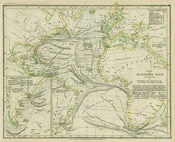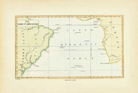
"Map of the South Atlantic Ocean"
Hand-colored wood engraving by John Charles Melliss
London, 1875
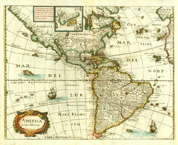
On the South American continent we see Brazil and some of the coast line of Argentina. Africa's West Cioast is shown from the Gulf of Guinea to the Cape. Lonely in the middle of the ocean: The island of St. Helena.What a distant place to park Mr. Napoleon!
Light age toning in margins. Margins show some traces off age and use.
11,5 x 19,2 cm (ca. 4.5 x 7.5")
$ 85.00 (Please see discount at top of this page. Here 30% = $ 66.00).
Order Nr. ATLANTIC254761