|
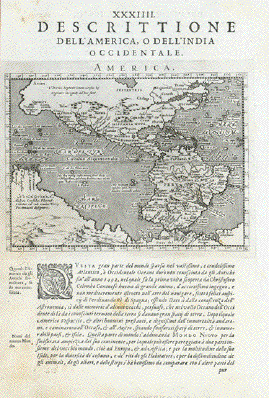
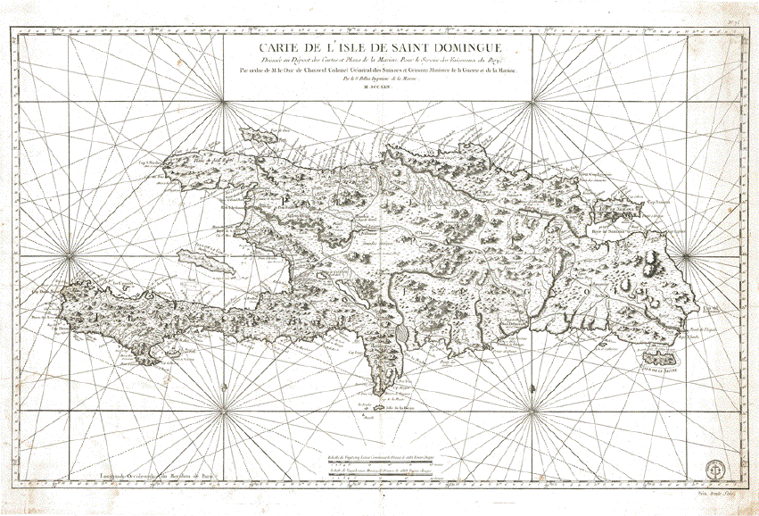
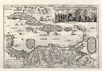
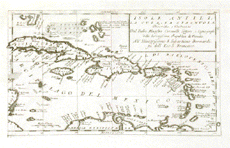
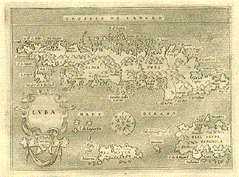
"Descrittione dell'America o
dell'India occidentale" Plate
XXXIIII (34)
Type of print: Copper
etching
Artist: Girolamo Porro
After: Giovanni Lorenzo
d'Anania
Published in: "Geografia cioe
Descrittione Universale della Terra"
Publisher: Gio. Battista &
Giorgio Galignani Fratelli
First published in:
"Geographia" von Claudius Ptolemy
Edition: Italian edition
Editor: Giovanni Antonio Magini
(1555-1617)
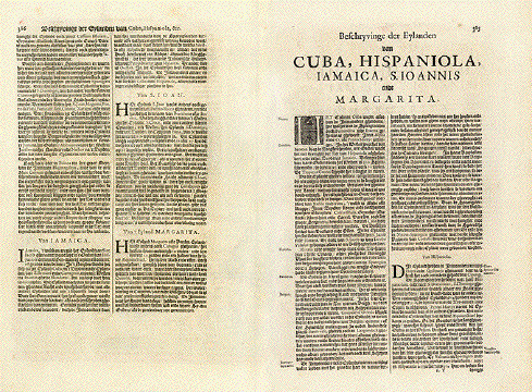
Text: Italian. Complete. 8
double pages with the following chapters:
The discovery of America
North America
Quivira ( a legendary area in
North America, 1541 mentioned by Francisco Vazquez de
Coronado
New Spain (Mexcio)
Nicaragua
Yucatan
Florida
Apalaches (Allegheny
Mountains)
Norumbega (a legendary area in
NE-USA)
New France (French territories
in North America)
Labrador (Canada)
Estotilandia (Labrador,
Greenland, Iceland)
Central America
Castella Aurea (Legendary area
in Brazil where gold was found)
Peru
Chile
Brazil
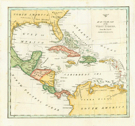
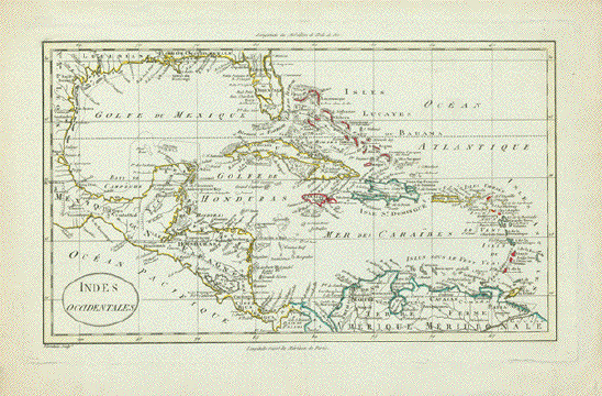
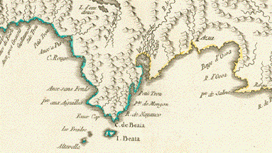
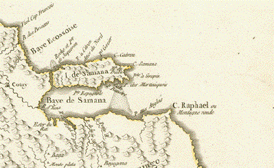
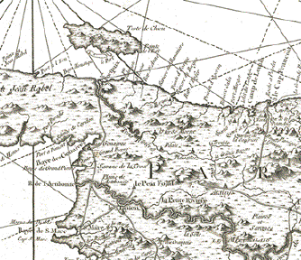
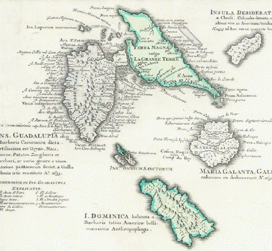
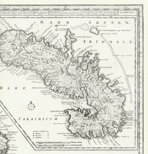
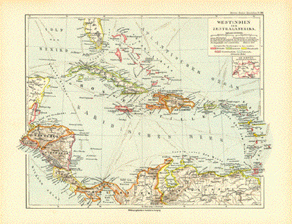
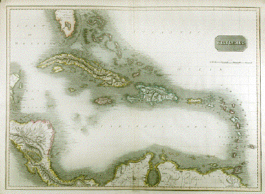
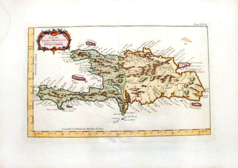
Caribic Islands (2
articles)
Published in:Venice
Date:1598
Measurements:
Map size: Ca. 12,5 x 17 cm (ca.
4.9 x 6.7")
Page size: Ca. 28,5 x 19 cm
(ca. 11.2 x 7.5")
Condition: Near perfect. Left
margin narrow. Very minor traces of age.
$ 750.00
Order Nr.
NORTHAMERICAMAP236454
|