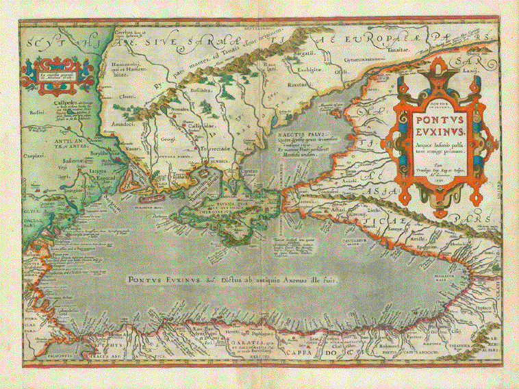
|
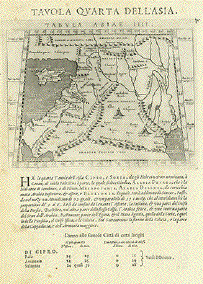
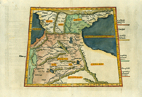
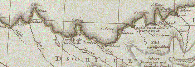
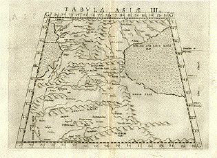
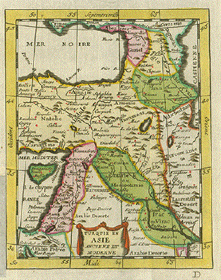
"Tavola Quarta
Dell'Aisa" (The fourth Ptolemy map
of Asia)
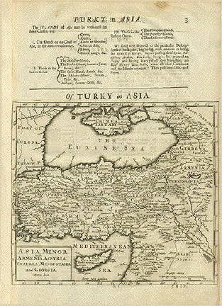
Map shows: Cyprus, South east Anatolia,
Syria, Lebanon, Israel, Jordan, Sinai Peninsula, Northern
part of the Arabian Peninsula. Irak, Kuwait
Copper etching after Claudius Ptolemaeus
published in ăGeografia cioe Descrittione Universale della
Terra" Gio. Battista & Giorgio Galignani Fratelli.
Venice, 1598
First edition in Italian prepared by
Giovanni Antonio Magini (1555-1617)
Light general age toning. Some minor traces
of age and use.
*******
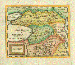
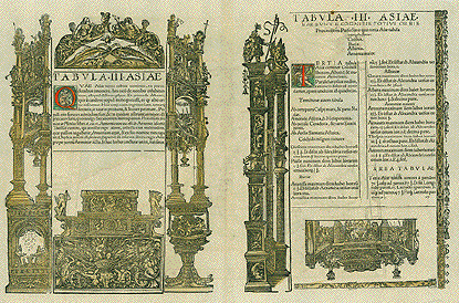
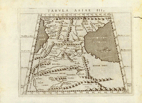
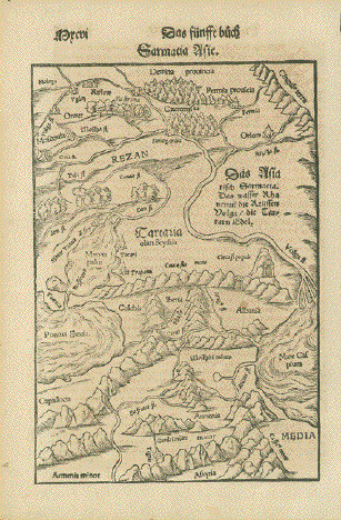
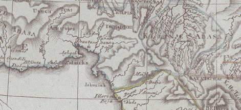
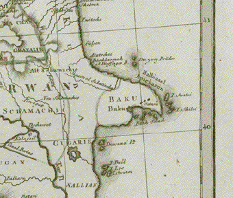
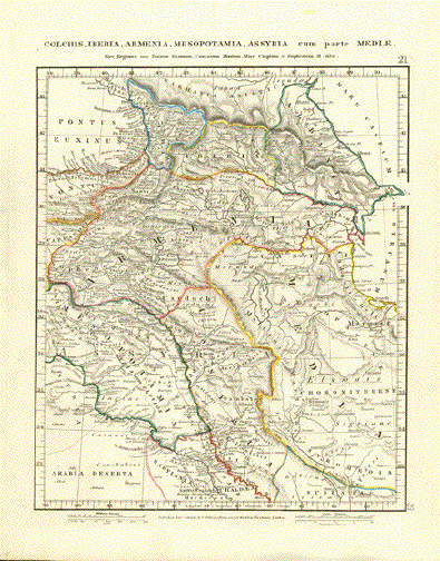
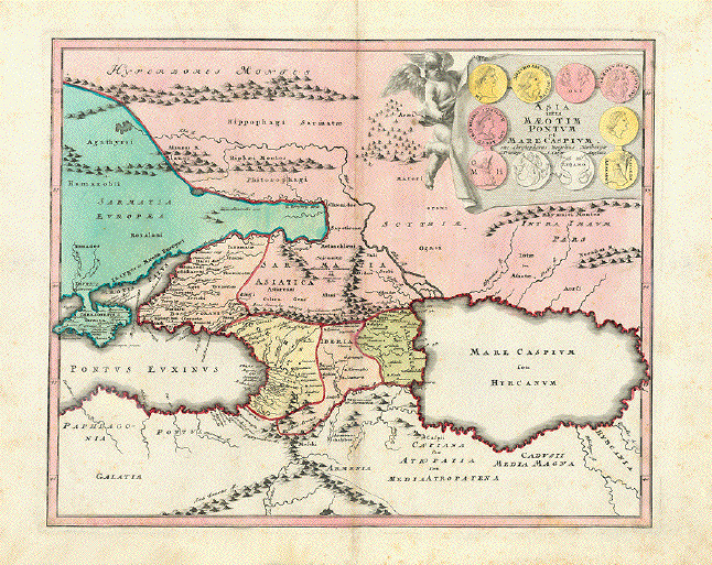
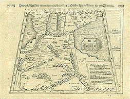
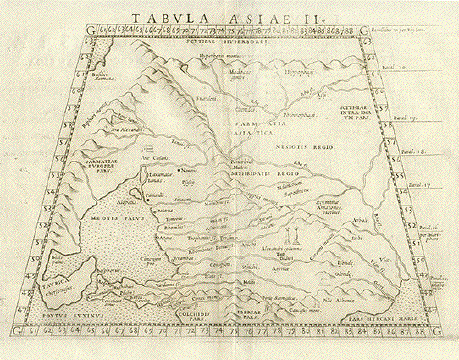
Reverse side: "Tavola Terza Dell'Asia"
(The thrid Ptolemy map of
Asia)
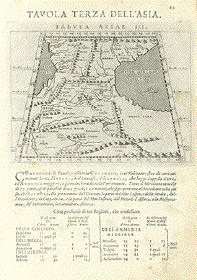
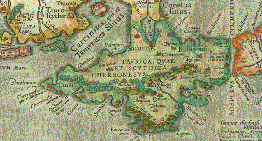
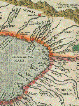
Map shows Gedorgia, Armenia, Aserbaidshan,
Iran. The land bridge between The Black and the Caspian
Sea.
Sheet: 28.5 x 19 cm (11.2 x 7.5")
Map: 12.4 x 17 (4.9 x 6.7")
$ 350.00
Order Nr. NEAREASTMAP235645
|