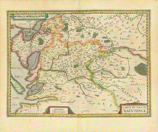
|
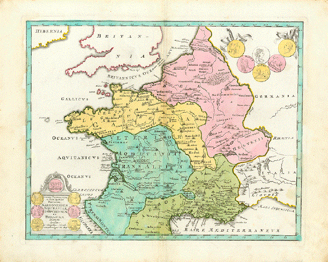
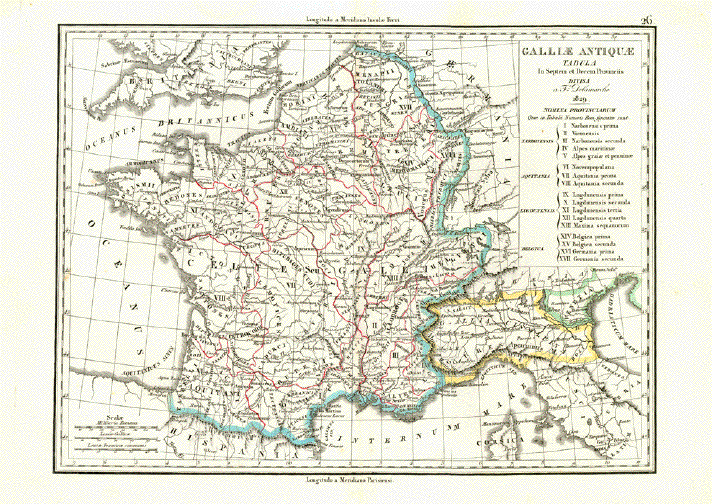
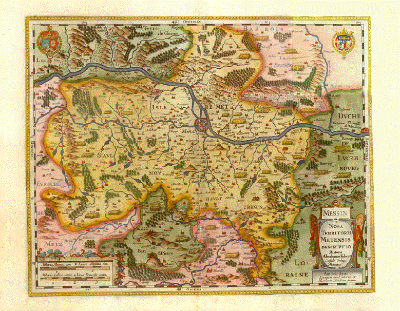
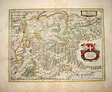
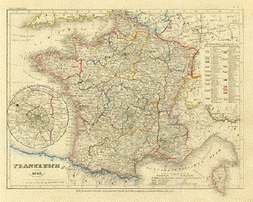
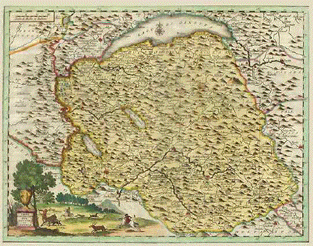
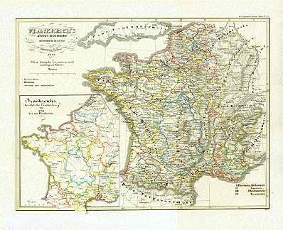
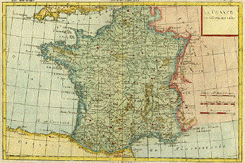
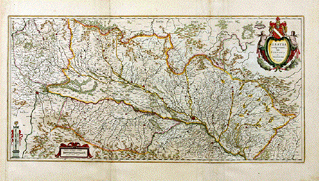
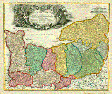
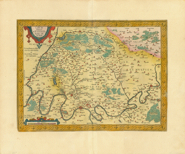
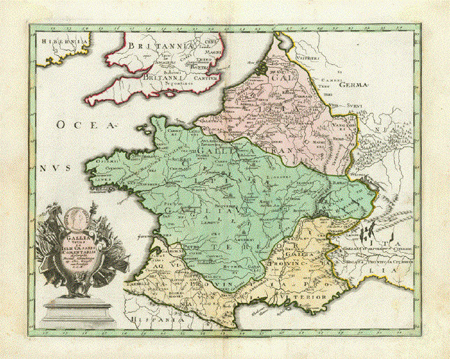
"Gallia Transalpina in suas
quatuor Provincias Narbonensem, Aquitaniam, Lugdunensem, et
Belgicam descriptaÉ"
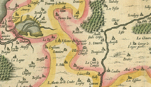
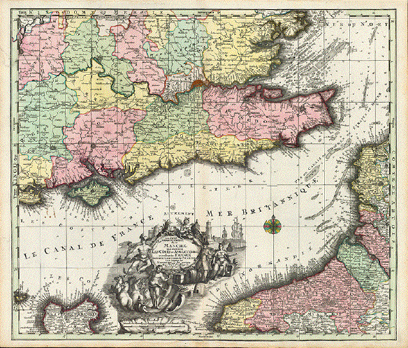
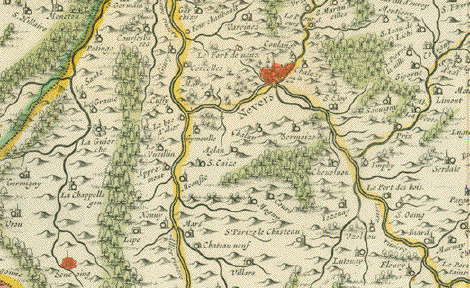
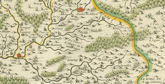
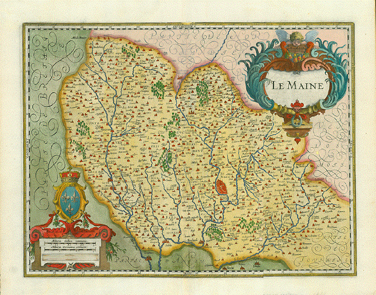
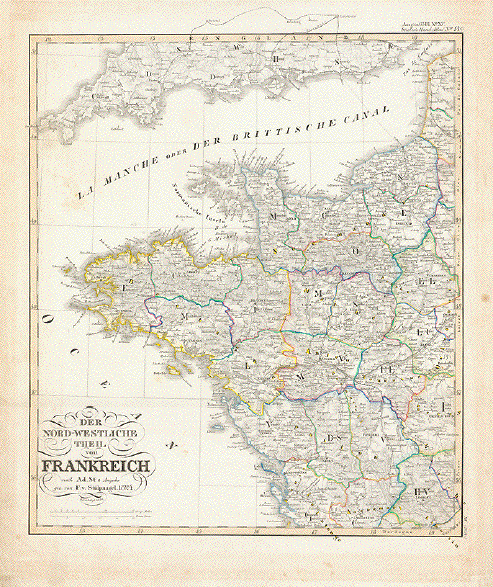
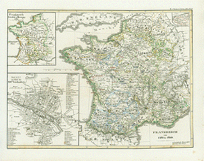
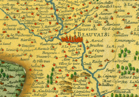
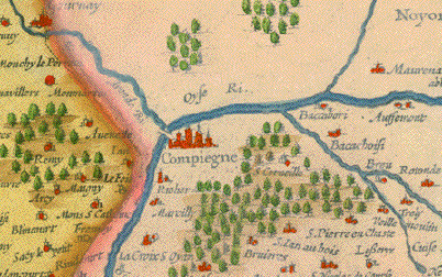
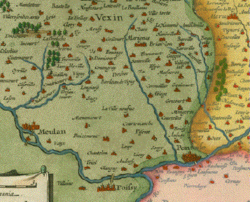
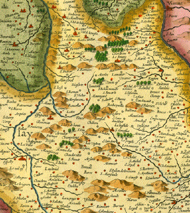
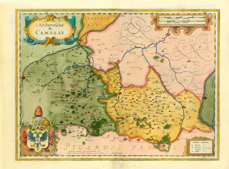
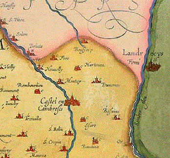
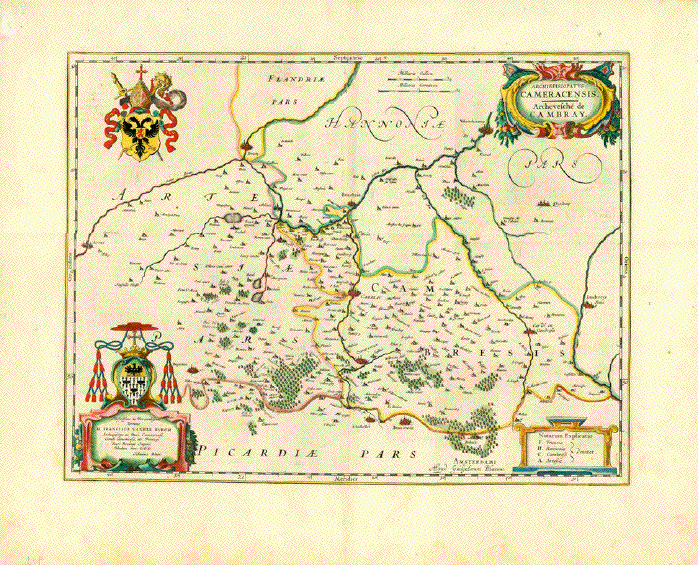
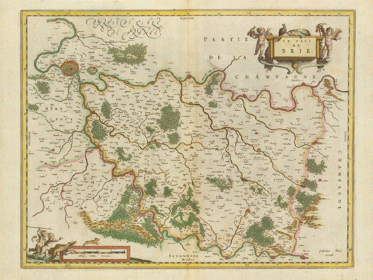
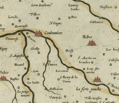
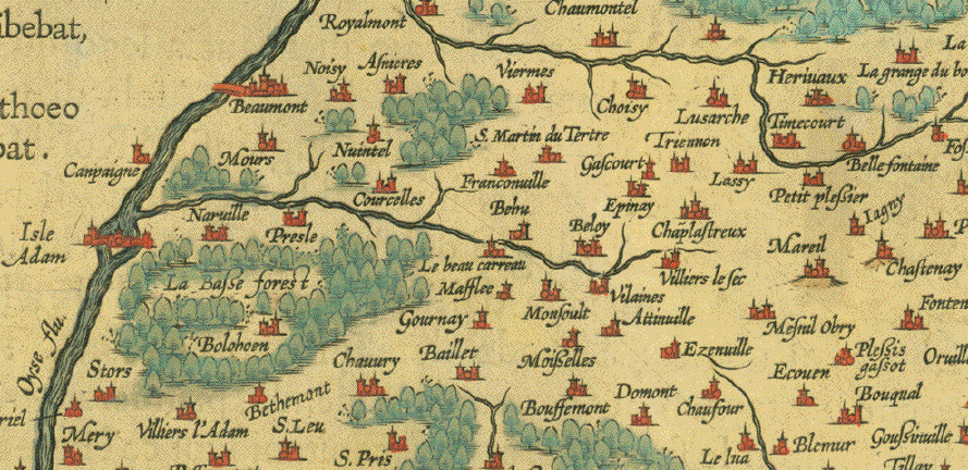
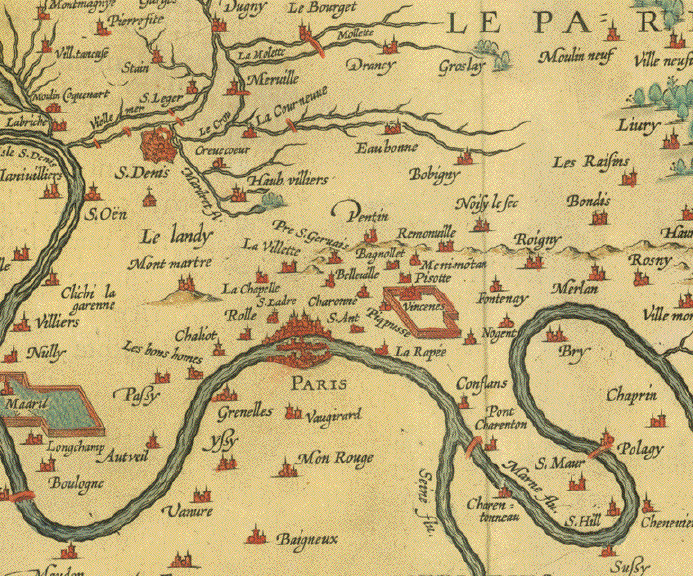
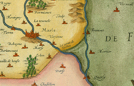
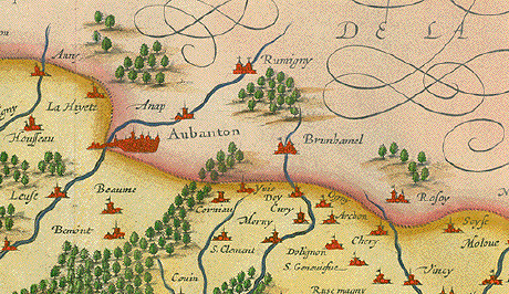
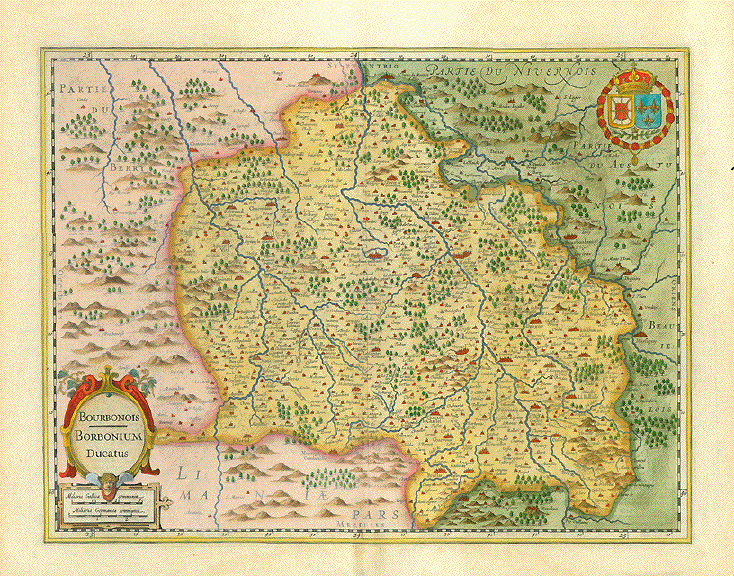
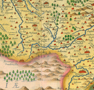
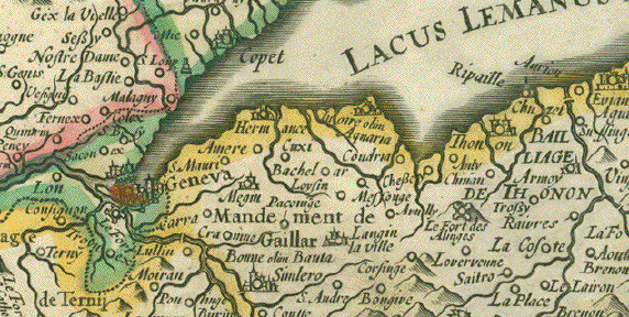
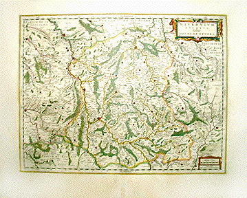
This historic map shows mainly
France. But it includes Roman conquests of Belgium (then a
large area of land under the Latin name of "Belgica", the
Netherlands, Germany west of the River Rhine, and
Switzerland. Antique coins and medals lower left around
title cartouche and upper right.
Type of print. Copper
etching
Color: Original hand
coloring
Author: Samuel Faber
(1657-1716)
Publisher: Christoph Weigel
(1654-1725)
Published: Nuremberg,
1720
Edition: Weigel reissued "Atlas
ScholastichodoeporicusÉ" which Faber originally published in
1716.
Condition: Beautifully bright
original hand coloring. Wide margins spotty and a bit
wrinkly. Margins have traces of age and use. In general:
Good.
31 x 38,5 cm (ca. 12.2 x
15.1")
$ 140.00
Order Nr.
FRANCEMAP239208
| 


 ^
^