|
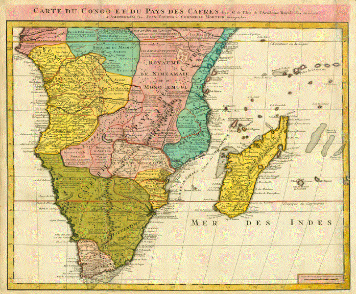
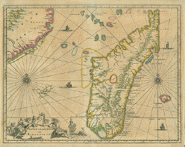
"Carte du Congo et du Pays des
Cafres" Copper etching by Jean
Covens and Corneille Mortier. Amsterdam, ca. 1700/10. Bright
original hand coloring.
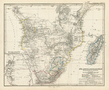
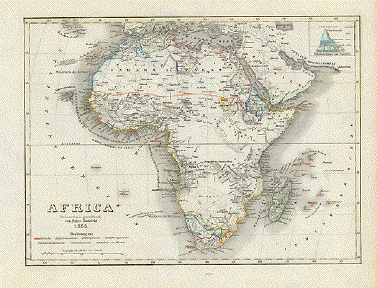
Map shows in great detail (of the time)
Africa from the equator to the Cape of Good Hope. It also
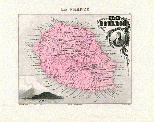
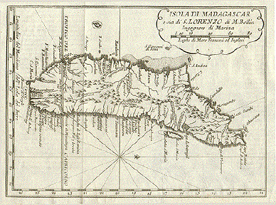
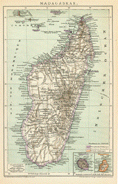
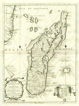
shows in detail the Island of Madagascar and the various
island groups in the Indian Ocean, including Reunion and
Maurice.
Except for the right side, which obviously
was in poor shape and has restored tears and creases as well
as an added margin, and a vertical crease running down the
middle of the image, except for all of that the actual image
has a strong, clear impression and is interesting on account
of the shown detail with borderlines of long gone kingdoms
and the information about various tribes and their areas.
Just to name a few: Kingdxom of Mataman, Kingdom of Quiteve,
Kingdom of Sabia, Kingdom of Mongale, Kingdom of Nimeamaie
or Mono-Emugi, Kingdom of Matamba, Kingdom of Angola,
Kingdom of Abutua, Kingdom of Benguela, Kingdom of Macoco or
Anzico And tribes: Caffers, Jagas Anthropopha, Zanguebar,
Namaguas, Hottentots, Maracates, Bokkemeale and several
others. This map gives ample information about ethnic
kinships Southern Africa, south of the equator.
50 x 60 cm (19.7 x 23.6")
$ 550.00 (in spite of the less than good
condition)
Order Nr. AFRICA234610
|