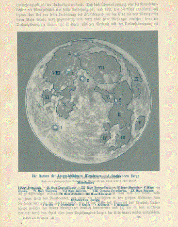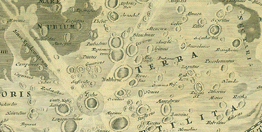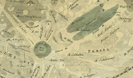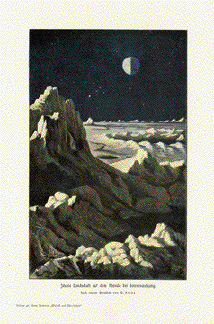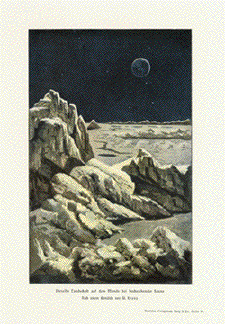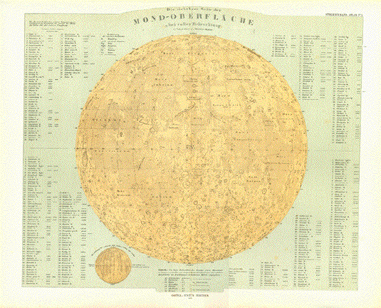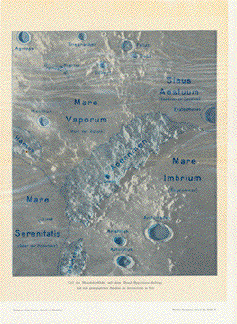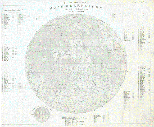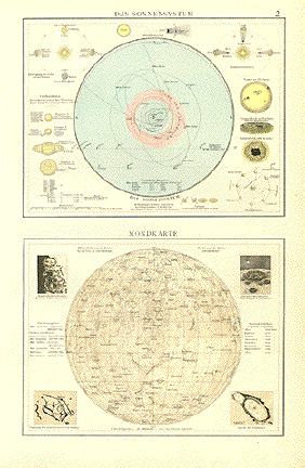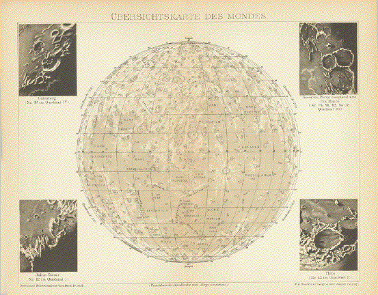
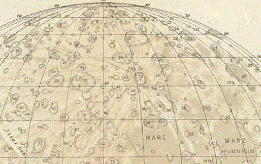
"Uebersichtskarte des
Mondes"
(Verzeichnis des Mondkraterd und Berge umstehend)
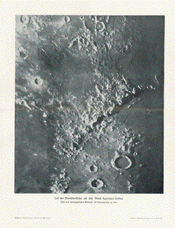
Small images: "Gutenberg, Guericke, Parry, Fra Mauro, Julius Ceaesar, Plato"
Zincograph published ca 1895.
On the reverse side are lists with
over 100 names of craters and mountains of the moon that
correspond
to the numbers on the image. Vertical centerfold. Light
natural age toning.
Page size: 25 x 31 cm ( 9.8x 12.2")
$ 80.00
Order Nr. MOONMAP254368