|
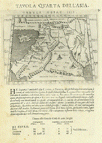
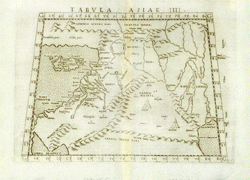
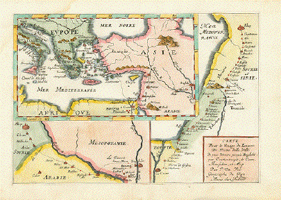
"Tavola Quarta
Dell'Aisa" (The fourth Ptolemy map
of Asia)
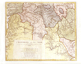
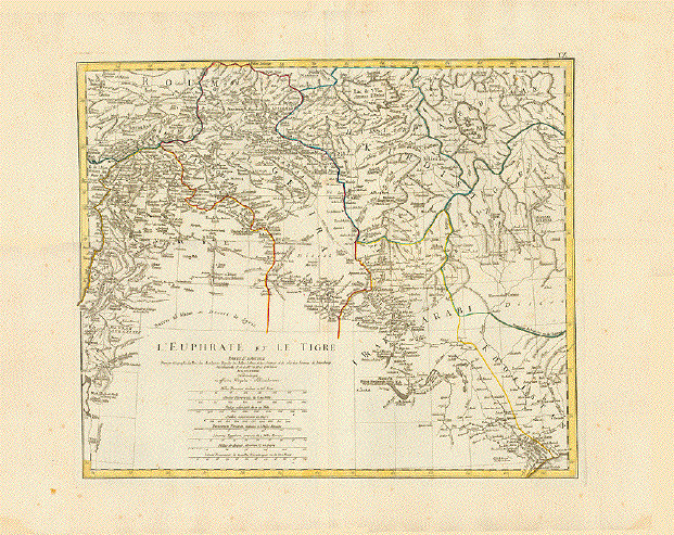
Map shows: Cyprus, South east Anatolia,
Syria, Lebanon, Israel, Jordan, Sinai Peninsula, Northern
part of the Arabian Peninsula. Irak, Kuwait
Copper etching after Claudius Ptolemaeus
published in �Geografia cioe Descrittione Universale della
Terra" Gio. Battista & Giorgio Galignani Fratelli.
Venice, 1598
First edition in Italian prepared by
Giovanni Antonio Magini (1555-1617)
Light general age toning. Some minor traces
of age and use.
*******
Reverse side: "Tavola Terza Dell'Asia"
(The thrid Ptolemy map of
Asia)
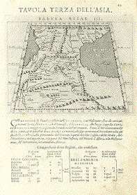
Map shows Gedorgia, Armenia, Aserbaidshan,
Iran. The land bridge between The Black and the Caspian
Sea.
Sheet: 28.5 x 19 cm (11.2 x 7.5")
Map: 12.4 x 17 (4.9 x 6.7")
$ 350.00
Order Nr. NEAREASTMAP235645
|