|
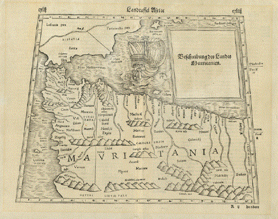
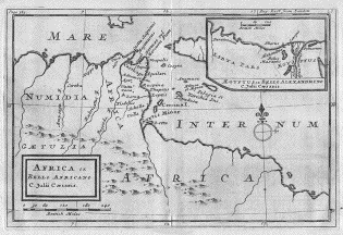
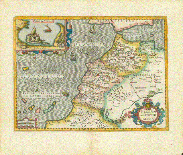
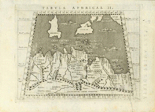
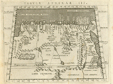
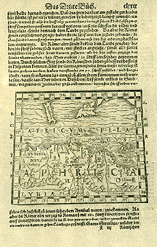
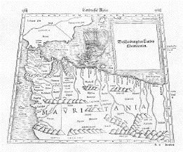
"Landtaffel
Africe"
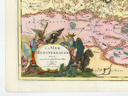
In inset cartouche:
"Beschreibung des Landes Mauretanien" (Deskription of
Mauritania)
Type print: Woodcut
Published in: "Roemische
Historien" (Roman Histories)
Author: Polybius (ca. 200 BC -
ca. 118 BC)
Translated by: Wilhelm Xylander
(1532-1576) His name latinized from: Holtzman)
Published by: Sebastian
Henricpetri (1546-1627)
Published in: Basel,
1574
Size of print: 25,5 x 28 / 33
cm (ca. 10 x 11 / 11.8") Trapezoid like most Ptolomean
maps
Page size: 31 x 38,8 cm (ca.
12.2 x 15.3")
Reverse side has text print as
described in German. Beautiful type setting!
Condition: Very good.
Rarity: Extremely rare!
$ 800.00
Order Nr. AFRICA239952
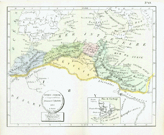
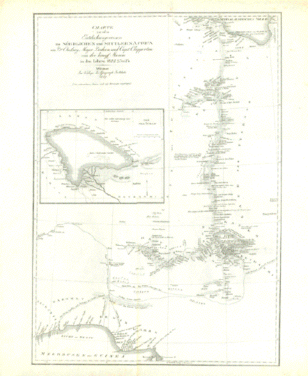
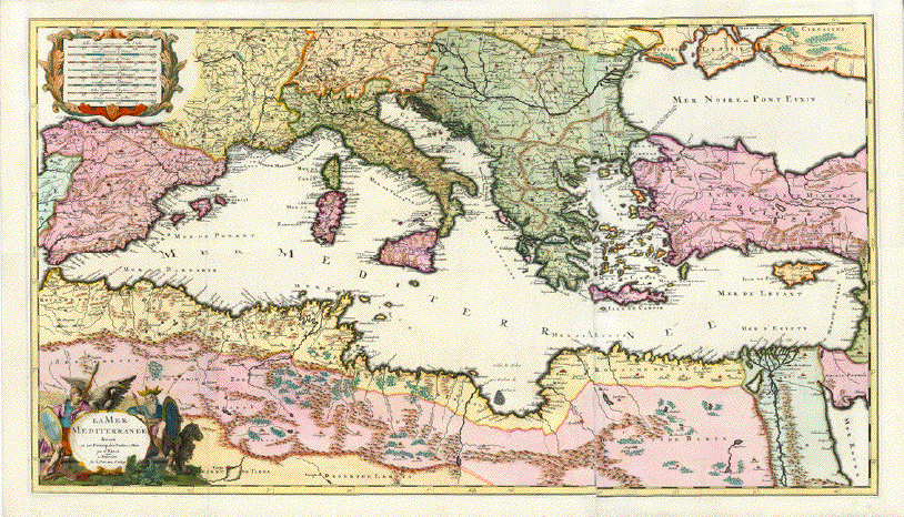
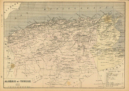
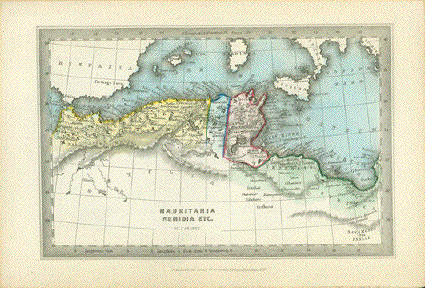
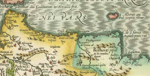
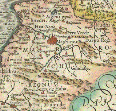
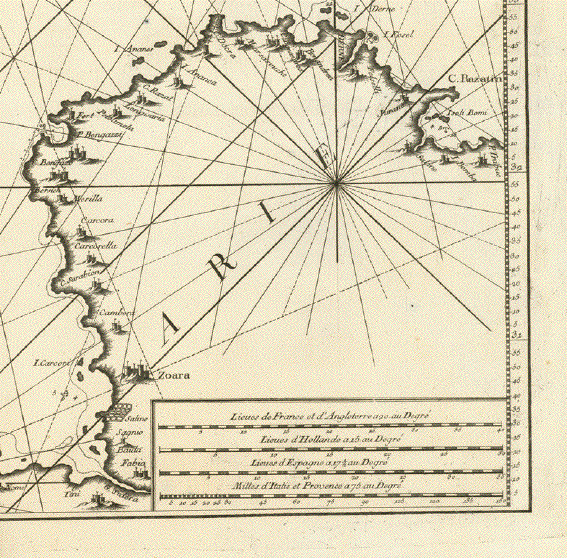
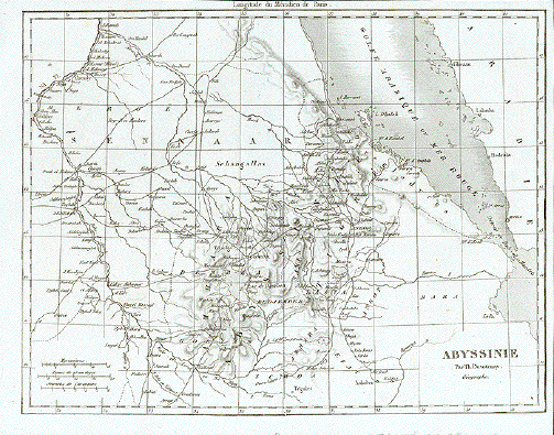
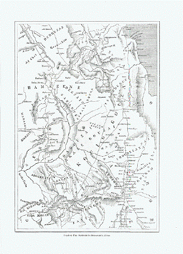
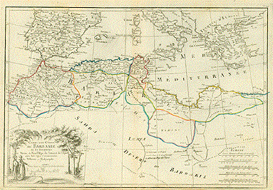
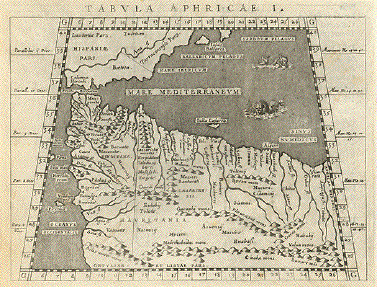
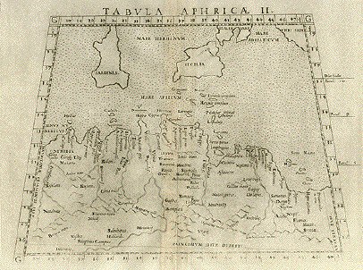
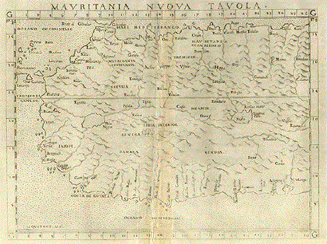
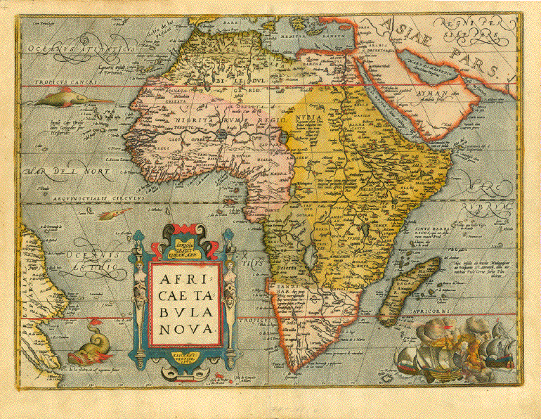
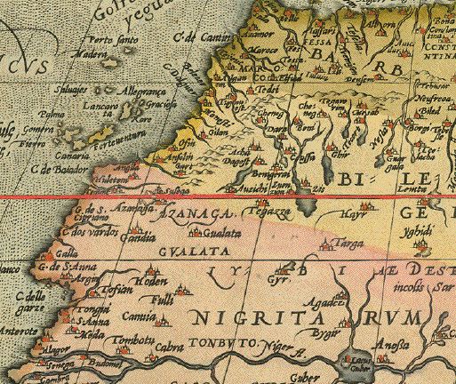
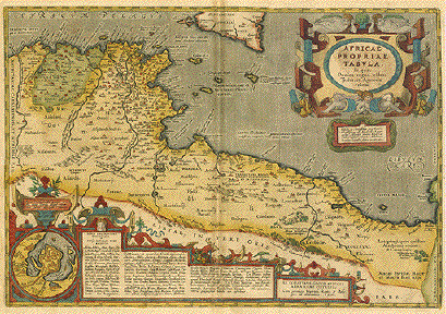
Map has little to do with the
modern "Islamic Republic of Mauretania". It actually shows
only the very northern part of this state. The title refers
to ancient historic understanding of the "Maghreb" It really
shows, by modern geography, Morocco, Algeria, Tunesia and
the westernmost part of Libya. In outlines we see southern
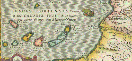
and eastern Spain up to the Balearics. Interesting in the
extreme west off the Atlantic coast the map shows "Erythia"
(Erytheia) one suspected island of the Canary Island group.
Erytheia was the island where, according to Greek mythology,
Hercules had the task to fetch the Golden Apples, which were
supposed to be held hidden in the Hesperides' garden in the
most western part of the then known world. Erytheia was one
of the Hesperides.
The "Roman Histories" by
Polybius were among the most important writings about
Hellenistic history and the upcoming importance of the Roman
Empire. Xylander, an all-round intellectual scholar,
translated the book from the original Greek rather than
reproducing the existing Latin translation. The entire work
comprised originally 40 volumes, of which most are lost. The
ones preserved contain maps of the Mediteranian countries:
Greece, Macedonia, Turkey, Syria, Egypt, Mauretania, Italy
and a few others. Polybius used the maps of Ptolomy.
|