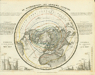
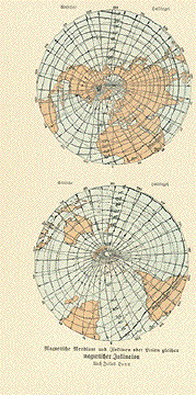
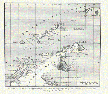
|
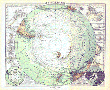
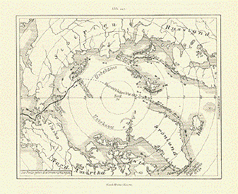
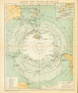
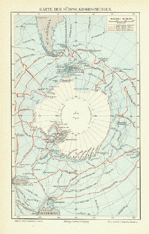
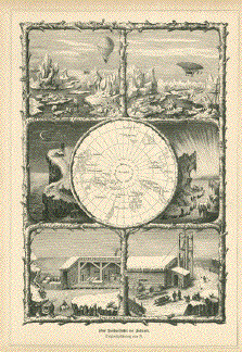
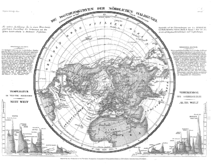
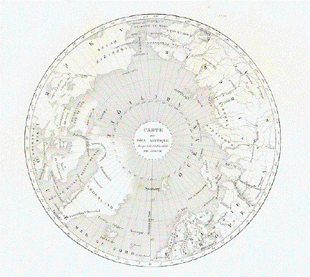
Sued Polar Karte von A.
Petermann
Steel engraving by H. Alt and
Stichart after Ernst Debes, Gotha, dated 1875. From
"Hand-Atlas über alle Theile der Erde und über das
Weltgebäude" by Adolf Stieler.
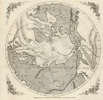
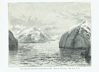
This South Pole map has many
interesting aspects of discovery and special details of the
bordering islands.
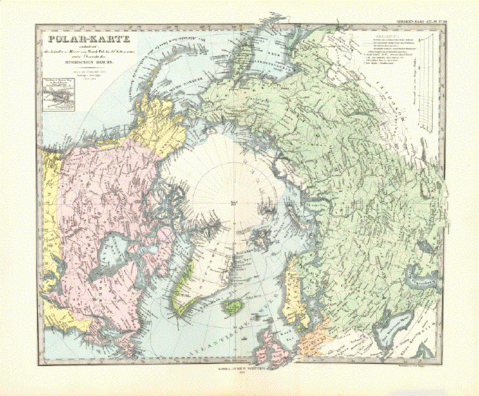
In the upper left of this map
is a detailed inset of the South Shetland and Orkney Islands
and below these are Decption Island, Juan Fernandes Island,
Aukland Island, Warekauri Island and a polar region map.
On the right is an inset of
Tristan da Cunha Island, the Kerauelen Islands, Crozet
Islands, Prince Edward Island, New Amsterdam and St. Paul
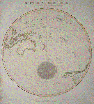
Islands, Victoria Land and a hemisphere map of the Southern
Hemisphere.
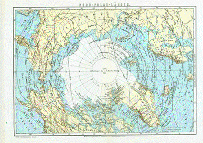
On the map are the discovery
dates of many parts of the Southern Pole. The white area in
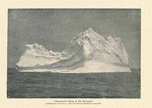
the middle is unexplored land at that time. The green lines
show the ice movements. Other lines show discovery routes.
Vertical centerfold.Vey light
age toning in margins. Otherwise fine condition.
35 x 41 cm ( 13,7 x 14.9 x 16.1
")
$ 175.00
Order Nr. POLAR239959
|