|
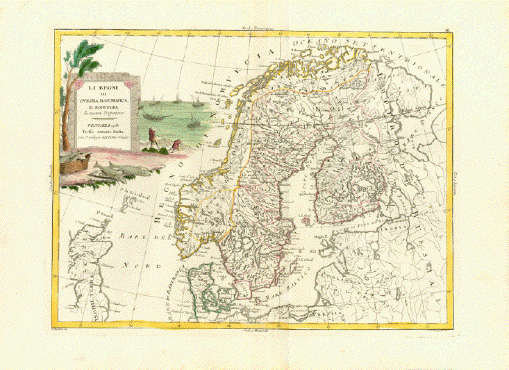
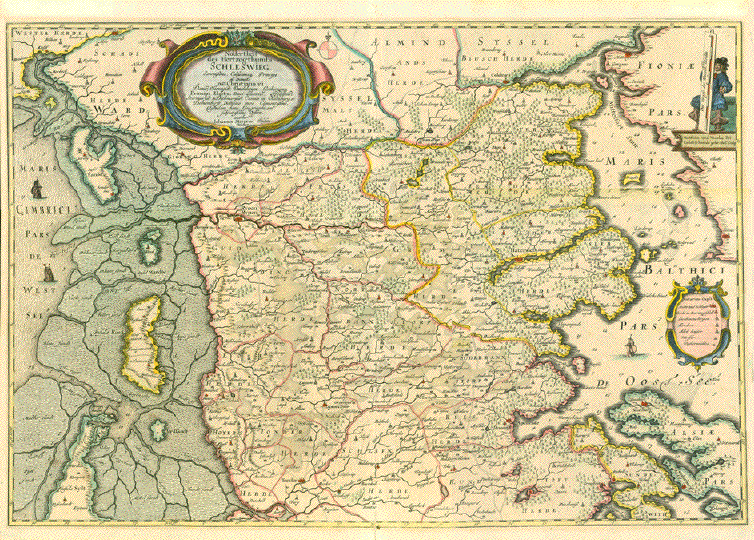
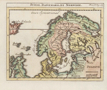
Europe. -
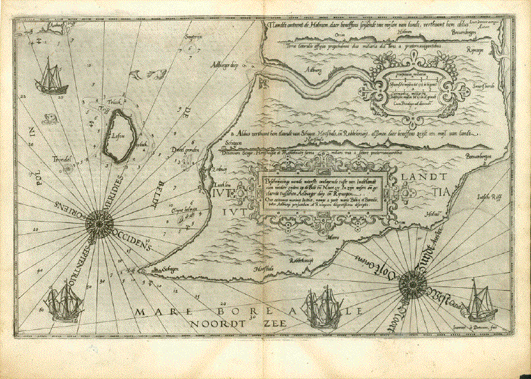
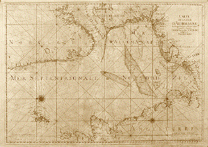
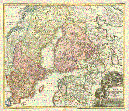
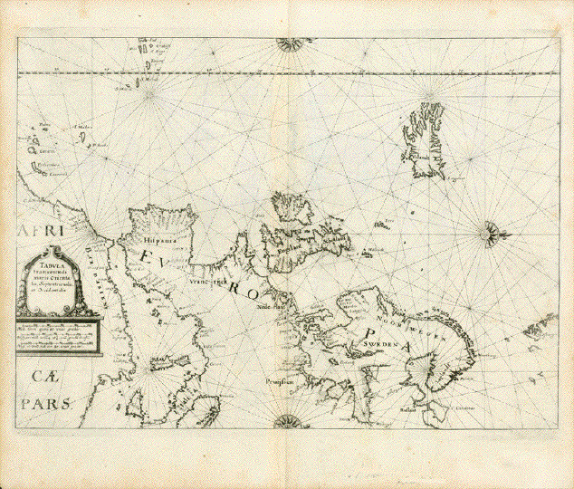
"Tabula transeundi maris Orientalis
Septentrionalis et Occidentalis"
Copper engraving by Julian
Angelus von Werdenhagen 1581-1652
Aus: ãDe rebus publicis
Hanseaticis tractatus cum urbium earum iconismis,
descriptionibus, tabulis geographicis, et nauticis, nec non
inductione generali Rom. Imper Germ. noviter auctus et
reuisus"
Publisher: Matthaeus Merian
(1593-1650)
Published as part of "Theatrum
Europaeum"
Frankfurt on the Main,
1641
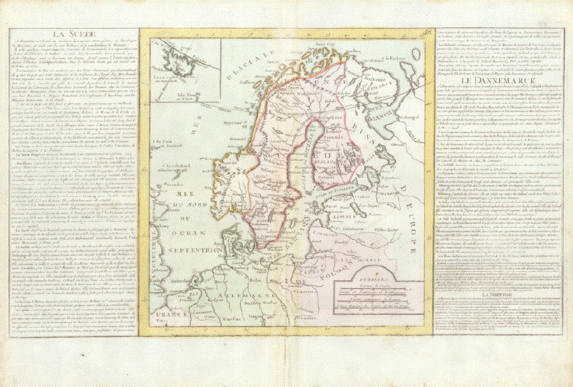
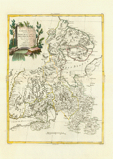
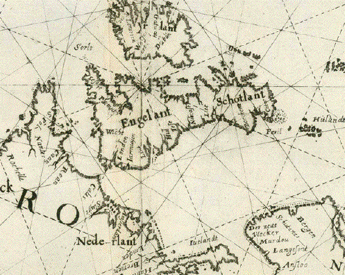
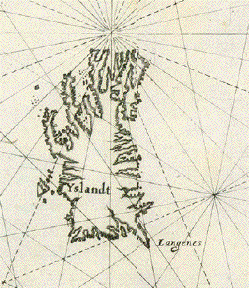
Werdenhagen copied this map
from the Maritime Atlas published "Zeespiegel"
by Guillermo Blaeu (1571-1638)
in the year 1623 in Amsterdam. He scaled the map down to the
size of Merian's book
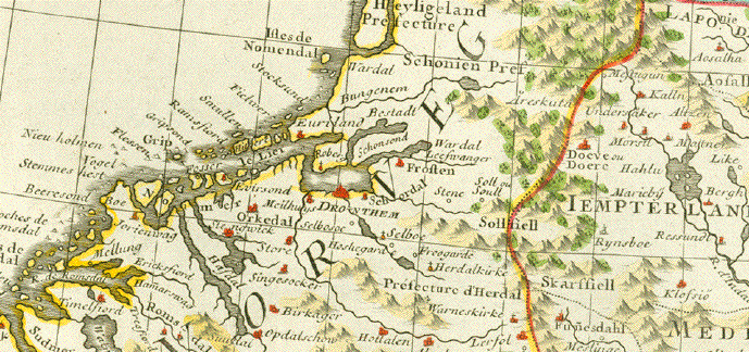
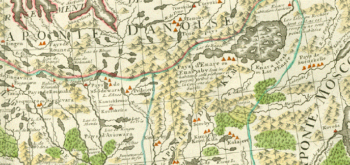
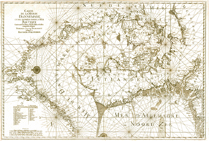
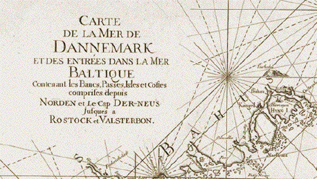
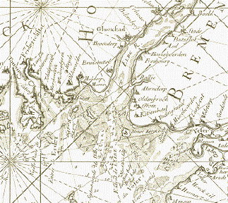
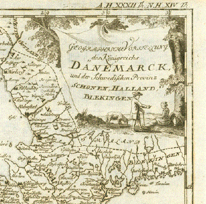
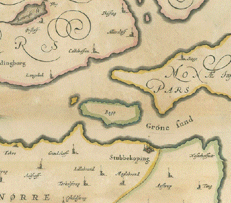
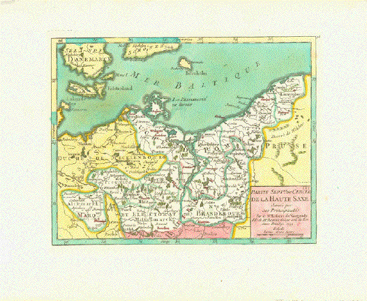
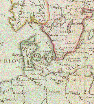
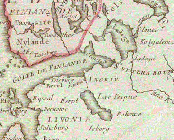
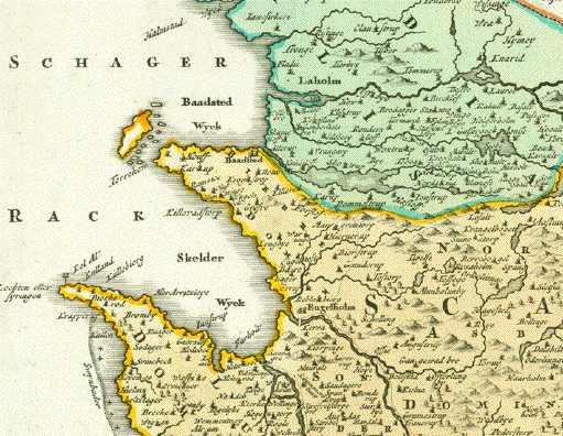
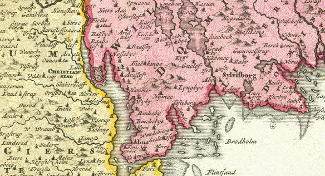
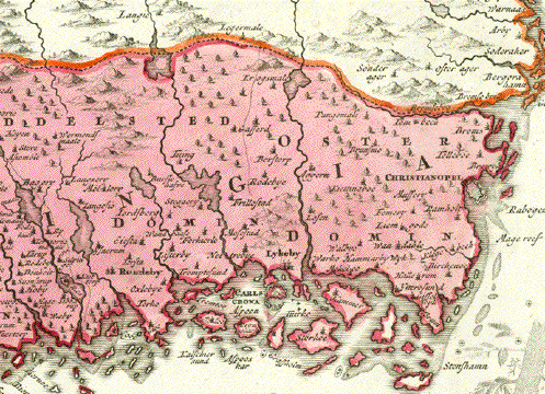
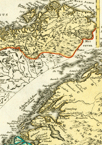
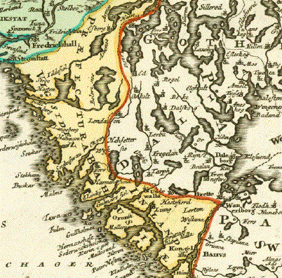
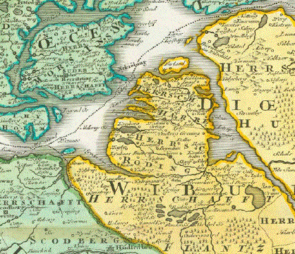
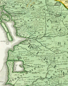
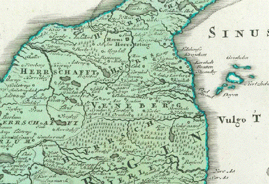
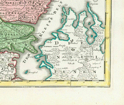
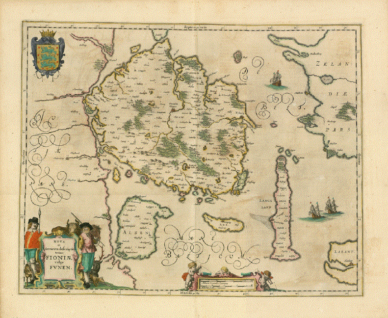
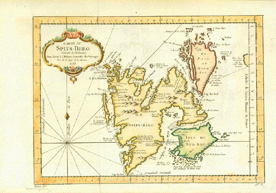
West-oriented map. Copper
engraving. Showing Western and Northern Europe. Partially as
a portolan map. Map reaches out into the Atlantic showing
the Canary Islands, the Azores, Iceland, north to
Spitzbergen, as well as portions of North Africa.
Lightly age-toned, especially
along edges. Vertical centerfold smoothed.
Minor creases. Parallel creasing along centerfold.
Map image: 27,3 x 36,2 cm (ca.
10.7 x 14.3")
Order Nr. EUROPA255851
SOLD
|