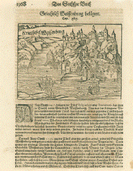
|

No title.
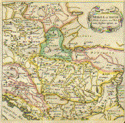
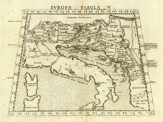
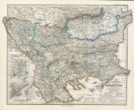
Retia, Vindelicia, Noricum, Istria,
Pannonia Superior, Pannonia Inferior, Illyriseu, Lyburnia,
Dalmatia.
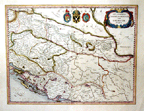
Wood cut by Martin
Waldseemueller after Claudio Ptolemy. : From ăClaudio
Ptolemei...Geographiae opus novissima...MDXIII". Strasbourg,
1513. Very nice recent hand coloring.
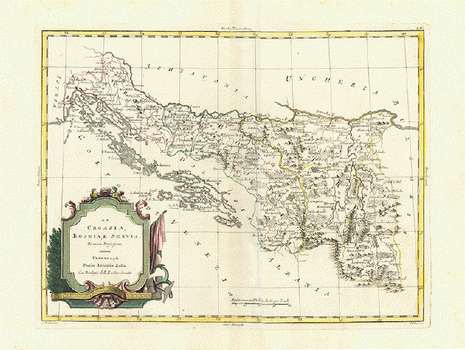
This very early map in trapeze
form shows the ancient regions named above. It reaches from
Bregenz in Western Austria to the Macedonian border. Showing
Svebia, Bavaria, Austria, Slowakia, Slowenia, Croatia,
Bosnia, Herzegowina, Hungary and parts of Romania south to
the Macedonian and Albanian border.
Map has pleasant light age
toninhg. Uper and lower margins have been added. Some traces
of age and use of minor importance.
Trapeze: 33.3 x 43.5 to 50.5 cm
(13.1 x 17.1 to 19.9"). Page size 37 x 58.8 cm (14.6 x
23.1")
$ 2500.00
Order Nr. BALKAN MAP
1044
|