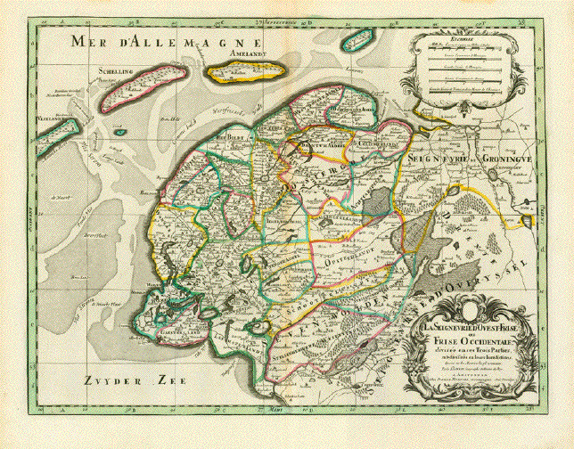
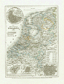
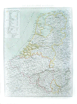
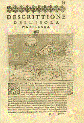
|
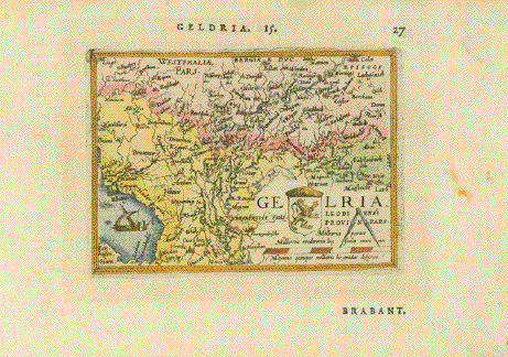
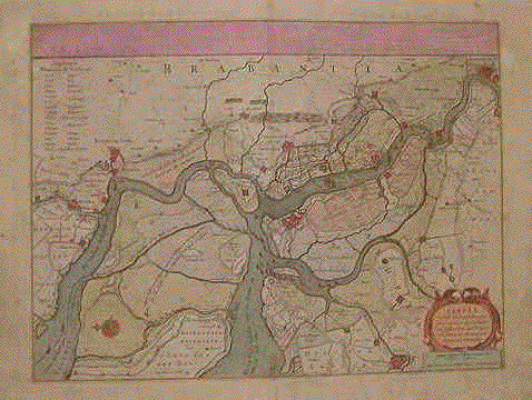
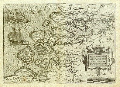
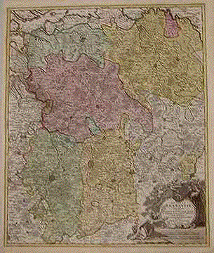
"Geldria"
Hand-colored copper etching
from the pocket atlas
by Abraham Ortelius
Antwerp, 1587
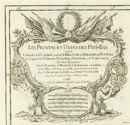
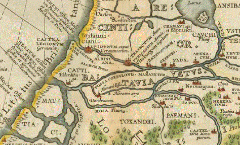
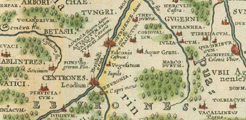
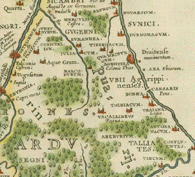
This little jewel map,
east-oriented and showing areas beyond its title, is one of
Abraham Ortelius'
miniature maps, an attempt by
the author to spread the knowledge of the world, so
fabulously displayed in his large (and expensive) atlas
"Theatrum Orbis Terrarum", which was the first world atlas
ever produced, as I just said, to spread this knowledge
further into larger groups of buyers who did not have the
means to afford the large version. And just look, how pretty
and educational even a miniature maps as this one can
be!
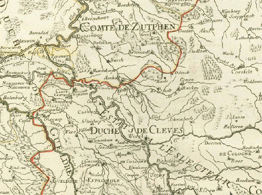
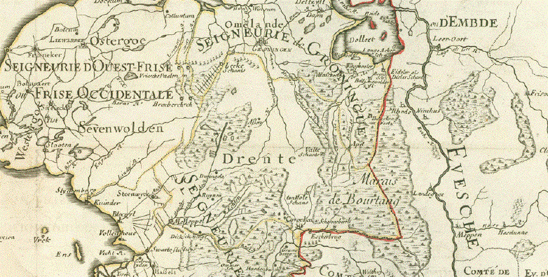
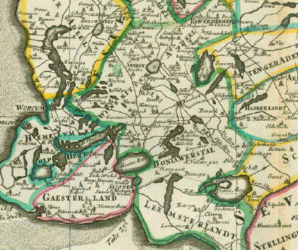
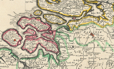
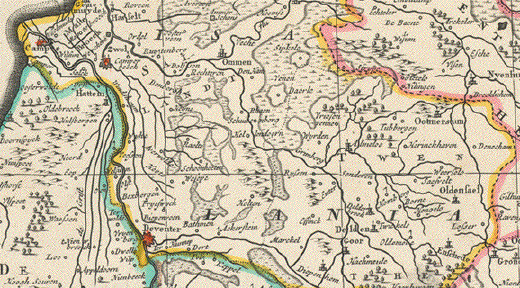
The River Rhine runs diagonally
through this map dividing it into geographicaly right
and left. On its right side, beginning at Cologne, we have
the Lower Rhineland and areas well into Wesrphalia and, in
the lower left corner of this map, the Zuiderzee, nowadays
Ijsselmeer between Friesland and North Holland.
Very good condition. Margins
have light scattered spotting.
. Reverse side has text print
about Brabant in the French language.
7,6 x 10,7 cm (ca. 3 x
4.2")
$ 90.00
Order
Nr.HOLLANDMAP253367
|