|
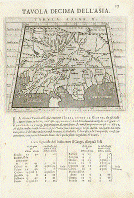
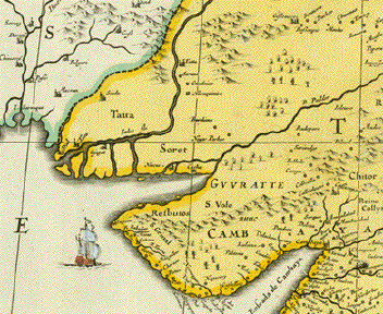
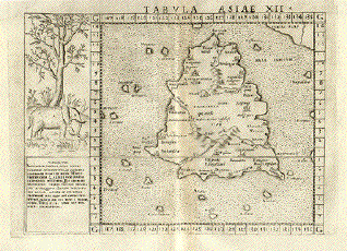
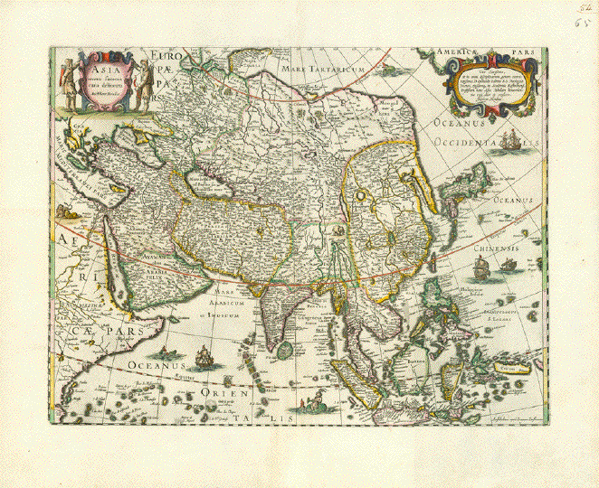
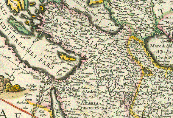
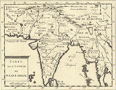
"Tavola Decima
Dell'Asia" - Tabula Asiae X" Plate X
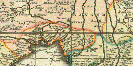
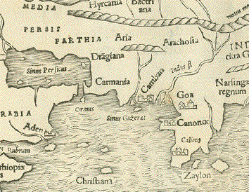
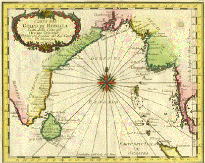
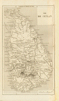
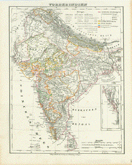
(10). Pakistan, Cashmir, Bangla Desh, North-India between
Indus and Ganges
Type of print: Copper
etching
Artist: Girolamo Porro after
Ptolemy
Published in: "Geografia cioe
Descrittione Universale della Terra"
Publisher: Gio. Battista &
Giorgio Galignani Fratelli
Edition: Italian edition
Editor: Giovanni Antonio Magini
(1555-1617)
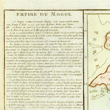
Text: Italian. Complete on
front and on reverse side: Tavola Undecicima Asiae
(11)
Published in: Venice
Date: 1598
Measurements:
Map size: Ca. 12,5 x 17 cm (ca.
4.9 x 6.7")
Page size: Ca. 28,5 x 19 cm
(ca. 11.2 x 7.5")
Condition: Very minor traces of
age.
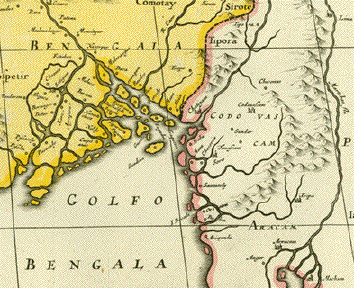
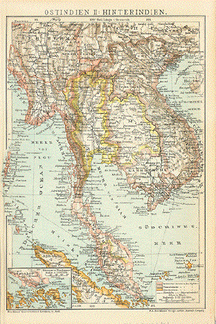
Reverse
side:
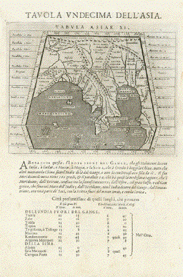
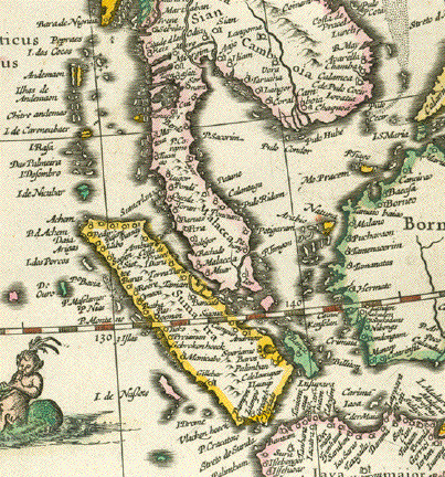
"Tavola Undecima Dell'Asia"
- Tabula Asiae XI" Plate XI (11).
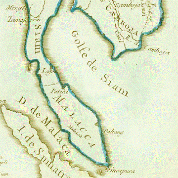
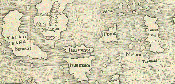
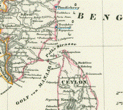
Bangla Desh, Northeast-India,
Myanmar (Birma), Laos,
Thailand, Southwest-China, Singapore
Type of print: Copper
etching
Artist: Girolamo Porro after
Ptolemy
Published in:"Geografia cioe
Descrittione Universale della Terra"
Publisher: Gio. Battista &
Giorgio Galignani Fratelli
Edition: Italian edition
Editor: Giovanni Antonio Magini
(1555-1617)
Text:Italian. Complete on front
and on reverse side: Tavola Decima Asiae
Published in: Venice
Date: 1598
Measurements:
Map size: Ca. 12,5 x 17 cm (ca.
4.9 x 6.7")
Page size: Ca. 28,5 x 19 cm
(ca. 11.2 x 7.5")
Condition: Very minor traces of
age.
$ 435.00
Order Nr. ASIAMAP236718
| 


.gif)