|
*******
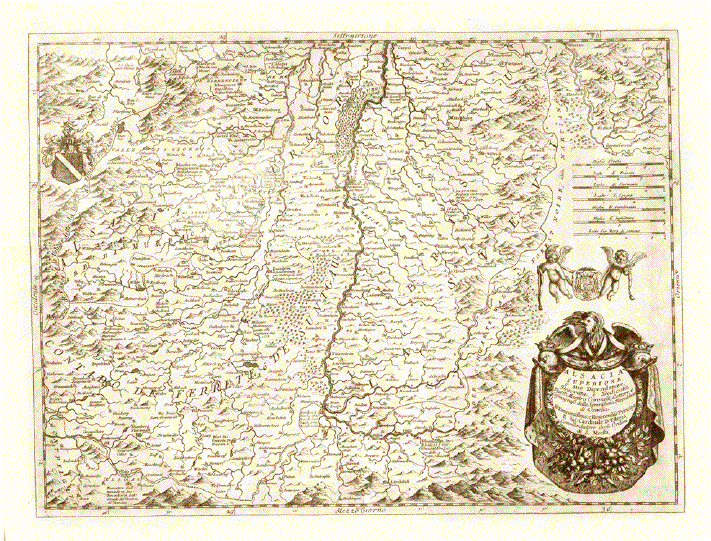
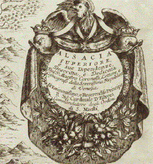
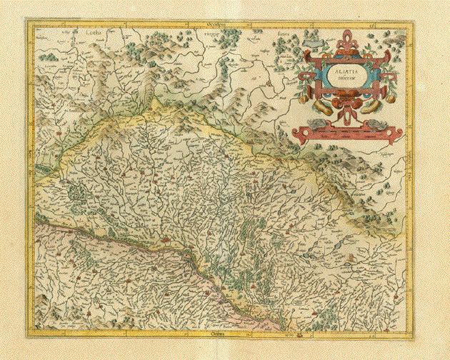
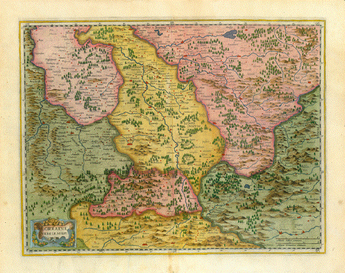
"Alsacia Superiore e sue
DipendenzeÉ"
und "Alsatia InferioreÉ"
2 grossarige detaillierte
Kupferstich-Landkarten vom Elsass, geographisch und
kartographisch
in den nördlichen und in den südlichen Teil
gegliedert.
Kupferstecher: Vincenzo Maria
Coronelli (1650-1718)
Der venezianische
Franziskaner-Mönch war einer jener universal gebildeten
Kartographen,,
die sich verdient gemacht haben um die kartographische
Darstellung unserer Erde.
Die beiden Karten vom Elsass
erschienen in Coronellis monumentalem Werk "Atlante Veneto"
mit 13 Bänden und 1200
Karten.
Venedig, 1691-1701
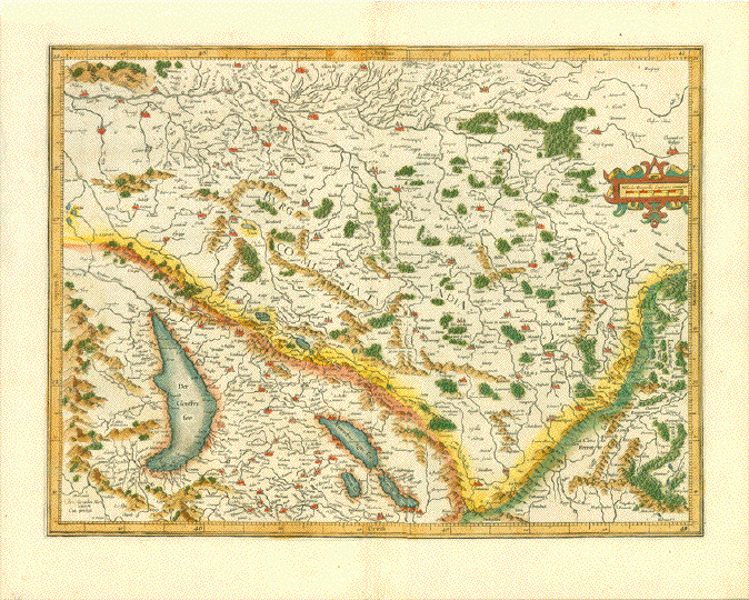
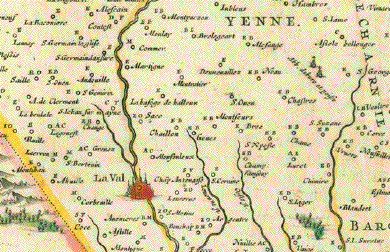
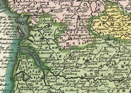
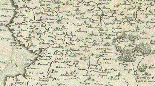
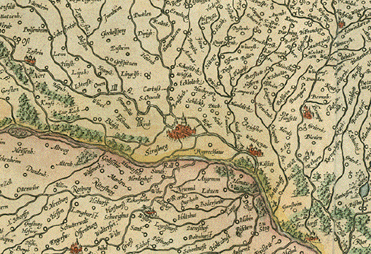
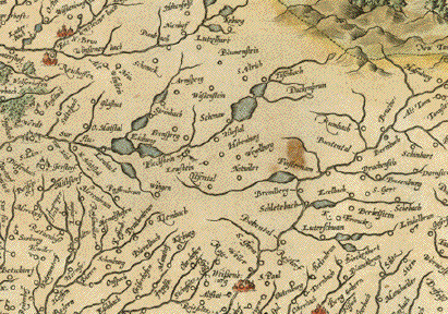
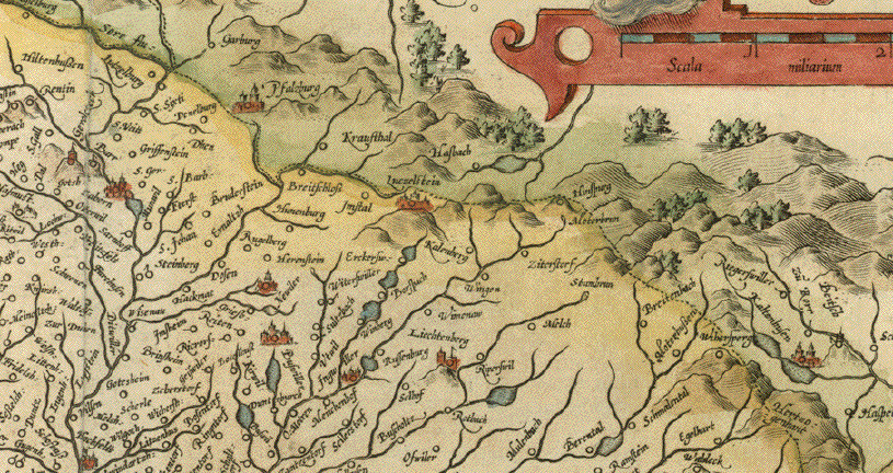
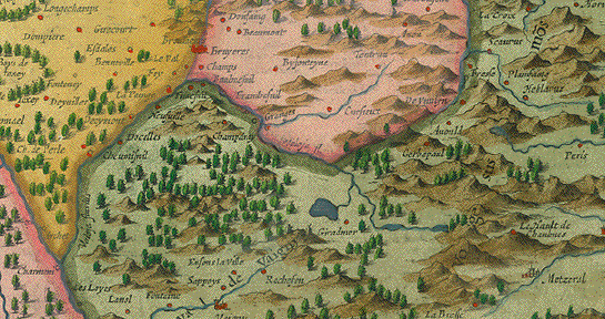
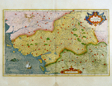
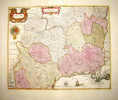
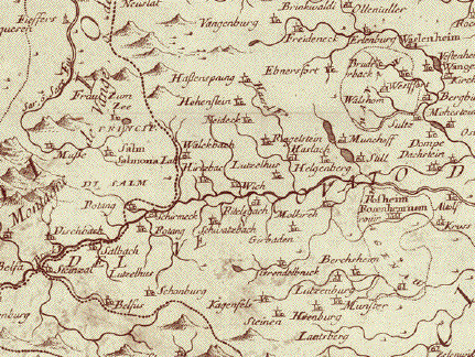
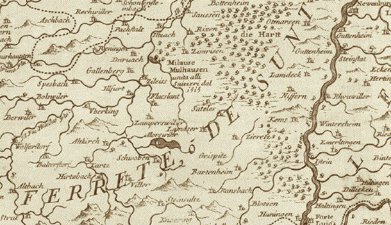
Der südliche Teil des
Elsass und des Breisgaus
Der Rhein macht seinen
Schlenker vom Bodensee kommend an Rheinfelsen vorbei nach
Basel, wo er scharf nach Norden biegt. Er durchströmt
die Karte dann nahezu mittig bis Kappel-Grafenhausen. Das
sind nur wenige Kilometer, nicht einmal 100! Das zeigt uns
wie detailliert diese grosse Karte auf beiden Seiten des
Rheins ist. Ganz im Süden zeigt sie noch ein kleines
Stück der Schweiz um Basel herum. Rechts, also
östlich des Rheins, liegt der südliche Breisgau
mit dem Hochschwarzwald, und links der südliche Teil
des namengebenden Elsass. Im Westen reicht die Karte bis zu
den Vogesen, auf deutscher Seite bis nach Todtnau, St.
Peter, Haslach im Kinzigtal und bis Schiltach.
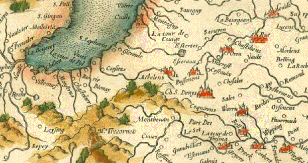
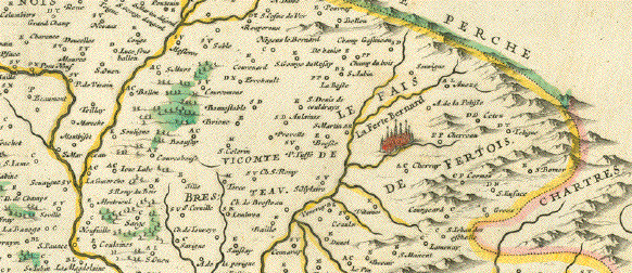
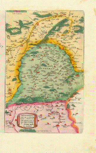
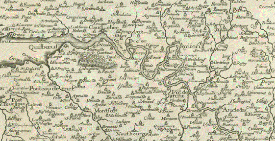
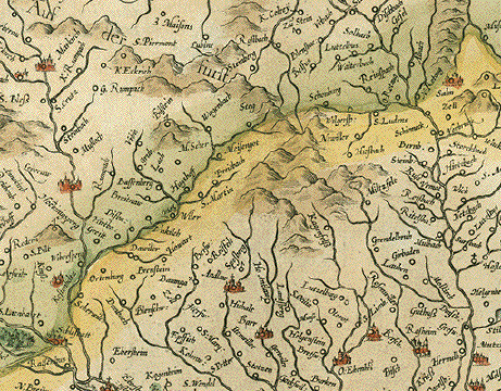
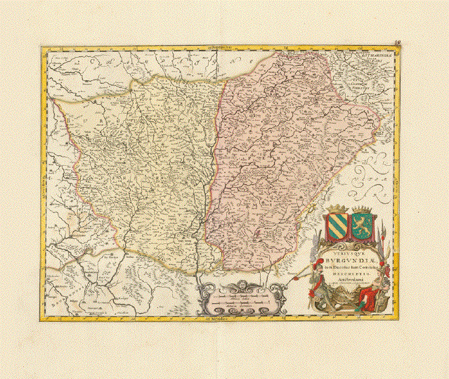
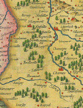
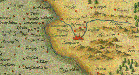
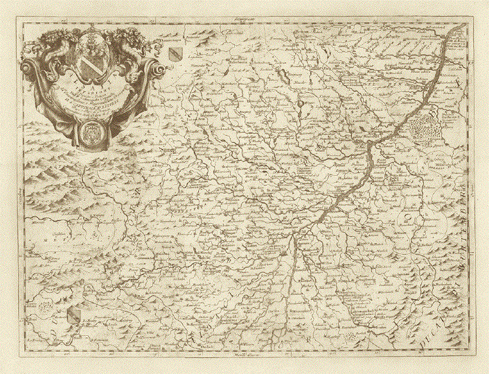
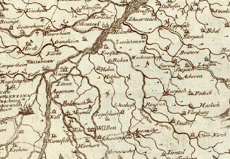
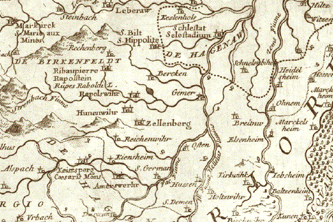
Der nördliche Teil des
Elsass und des Breisgaus
Der auf dieser Karte
südlichste Rheinabschnitt ist auf der
französischen (elsässischen) Seite der Ort Rhinau,
auf der deutschen Weites des Rheins tritt der Fluss im
Gemeindebereich von Kappel-Grafenhausen in die Karte ein. Er
fliesst, links (westlich) sehr detailliert der Unter-Elsass,
und rechts (östlich) sehr detailliert das
nördliche Baden, mit Offenburg, Baden-Baden, Durlach
(ganz in der Nähe Karlsruhe, das es damals nicht mit
diesem Namen gab) bis hinauf nach Germersheim.
Kartographiert ist hier auch
der südliche Zipfel von Rheinland-Pfalz entlang der
französischen Grenze bis Bad Bergzabern und noch etwas
darüber hinaus. Auf der französischen Seite des
Rheins reicht die Karte westlich bis zur Quelle und zum Lauf
der Saar, deren weiterer Lauf dann von der barocken
Kartusche verdeckt wird. Die elsässische Hauptstadt
Strasbourg ist mitten in der Karte..
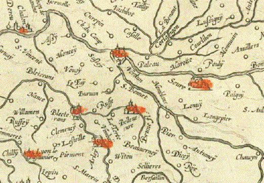
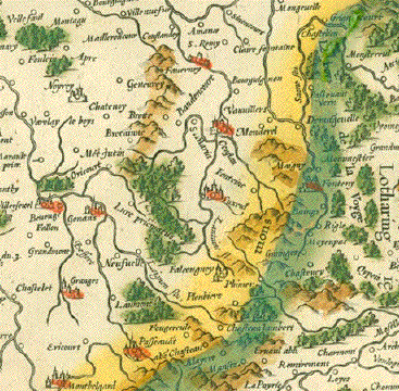
Zwei sehr saubere Karten, die
wir hier als Paar anbieten, weil sie als solches das ganze
Elsass zeigen. Sollte eine Kundschaft nur die eine oder
andere Karte zu kaufen wünschen, bitten wir um
Kontaktaufnahme mit uns.
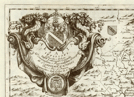
Die Margen sind bei beiden
Karten rundherum expertenmässig angefasert. Sehr
ordentlicher Abdruck. Die Mittelfalze kaum erkennbar. Die
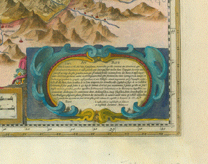
beiden Barockkartuschen majestätisch mit Wappen und
Widmungen
Die Abmessungen:
Südelsass: 45 x 61,3 cm
(ca. 17.7 x 24.1")
Nordelsass: 45,5 x 61,8 cm (ca,
19.9 x 24.3")
Price for the pair
(2maps):$580.00
Order Nr. FRANCE251816
|