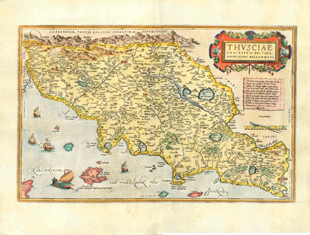
|
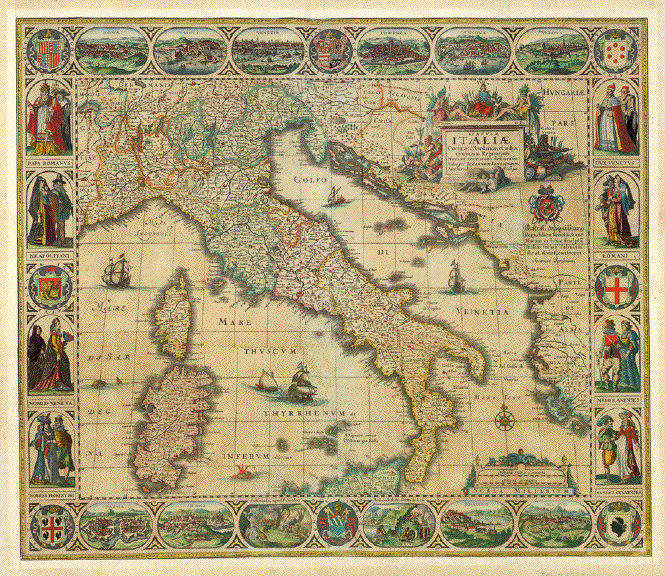

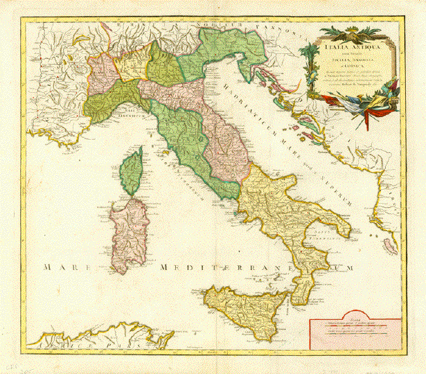
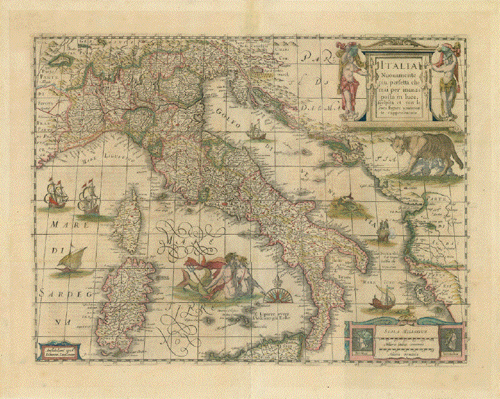
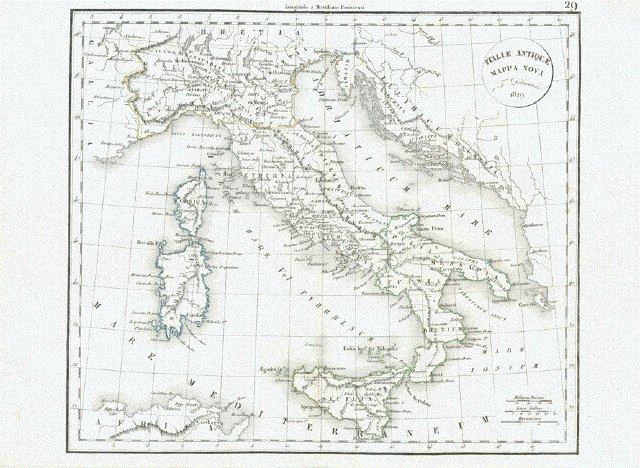
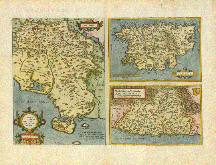
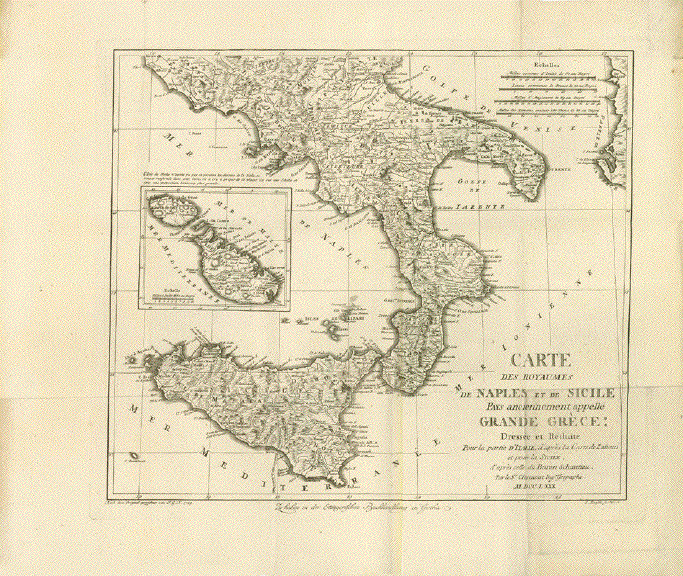
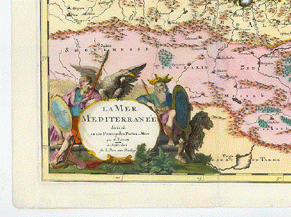
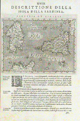
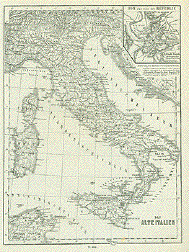
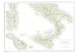
"Tabulae Italiae, Corsicae,
Sardiniae, et adjacentium Regnorum"
Hand-colored copper etching.
Rare!
Published by Jan Janssonius who
had bought the rights from Visscher / Hondius
Amsterdam, 1628 (1st
edition)
The first edition was published
in the Visscher/Hondius atlas 1628
Our map:
Published in Amsterdam as a
single sheet map (not bound in an atlas)
Amsterdam, 1640 (second
edition). Date was changed in title cartouche from 1628 to
1640
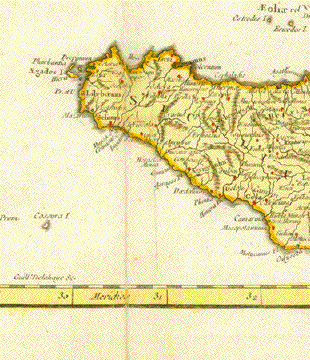
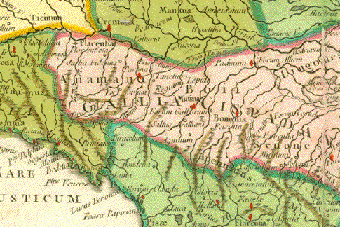
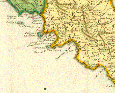
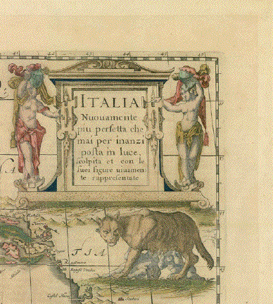
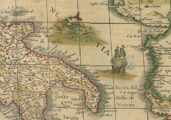
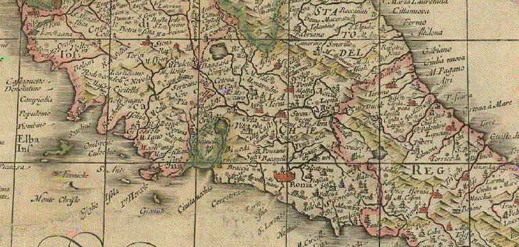
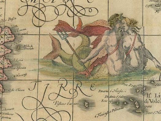
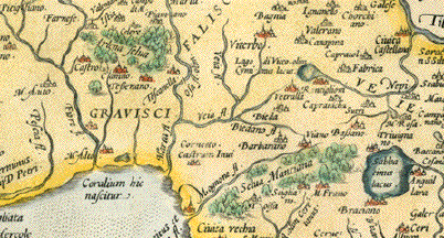
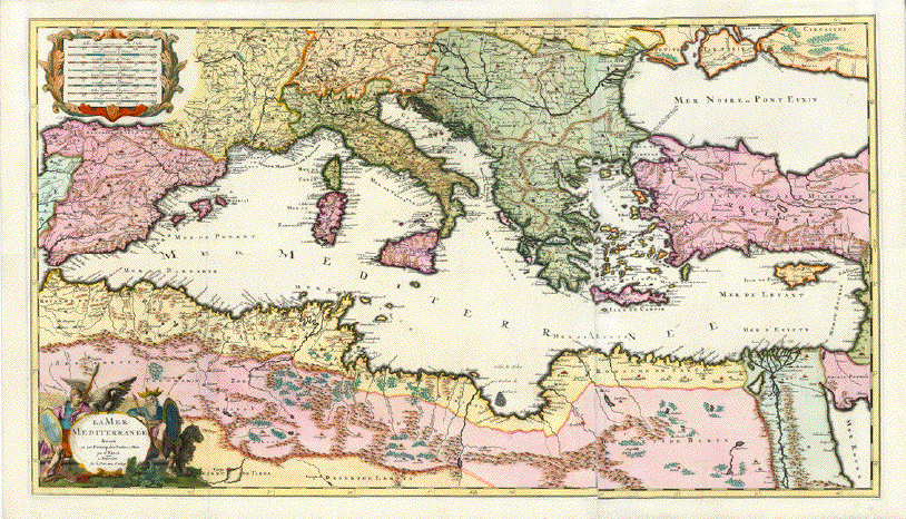
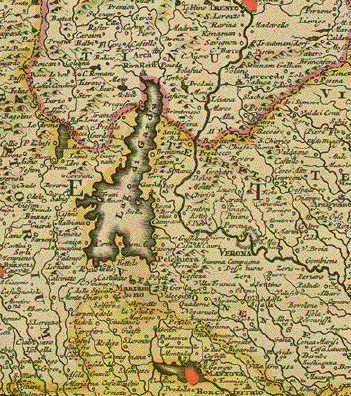
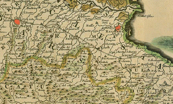
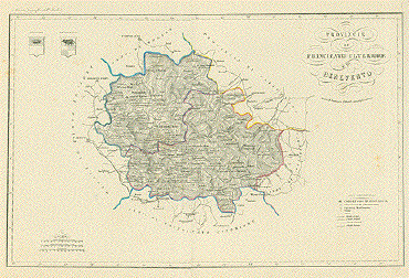
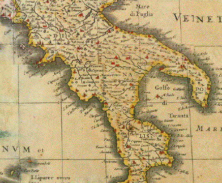
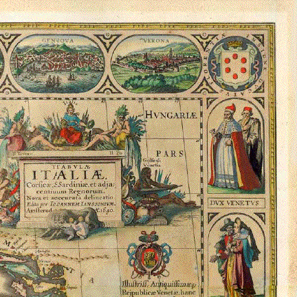
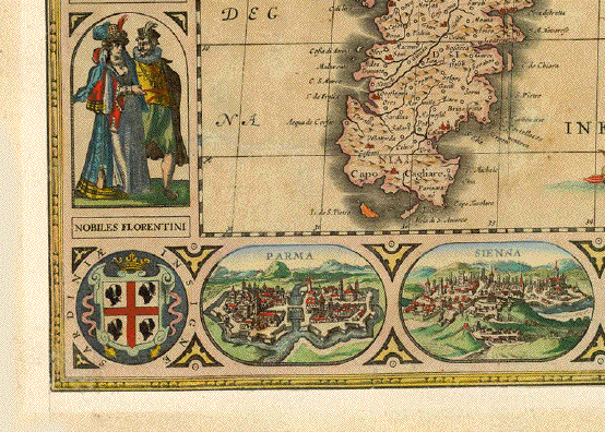
Views at top and bottom: Roma,
Napoli, Venetia, Fiorenza, Genova, Verona
Parma, Siena, Solfataria near
Pozzuoli, Anthrum lethale grotta de li cali, Possuolo,
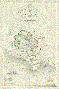
Vellitri.
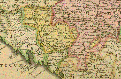
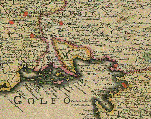
Left and right side: 4 pairs
costumes 8 coats of arms in corners and between
costumes.
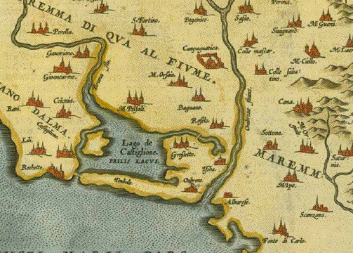
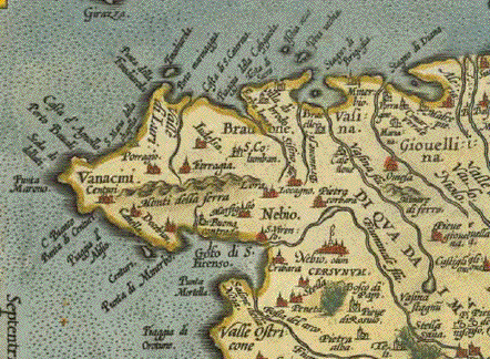
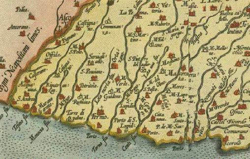
46 x 54 cm
Condition: Map had been trimmed
to border line. Margins added all around. Very good hand
coloring. Maps like this one, that were NOT bound in
an atlas, but published as a single sheet map were not
protected as well as if published in an atlas. Keeping a
single sheet map over centuries was problematic.
Over the life span of several
centuries unprotected maps will most likely be damaged in
various ways. This is also true for this beautiful map of
Italy. There were several damages: The trimming to the edge
of map - some tears have been repaired. The map was laid
down on thin China paper, thus giving it support in weak
places as well as repairing the few tears that had occurred
during the centuries (most likely by having kept it stored
rolled). There is some browning of the paper, noticeable
especially in the portion of the Mediterranean Sea.
We are trying to do our best to
bring to attention all blemishes.
But even with these blemishes
this remains a very desirable, rare map. It is highly
attractive and very decorative with the four surrounding
pictorial border decorations.
46 x 54 cm (ca. 18.1 x
21.3")
$ 5800.00
All maps of Italy are reduced
by 30% now. The price now for the map is $ 4060.00
Order Nr.
ITALIAMAPPA253904
*****
Reverse side:
|