|
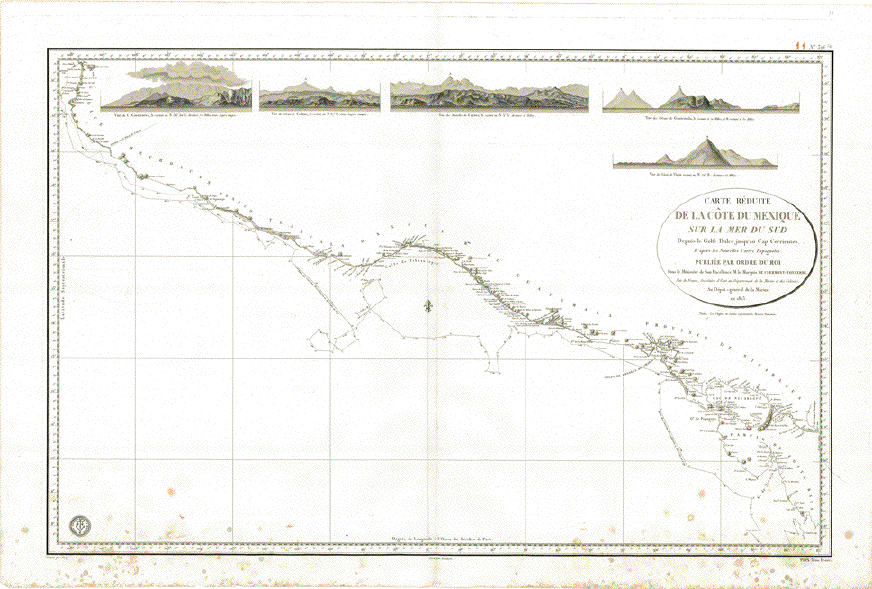
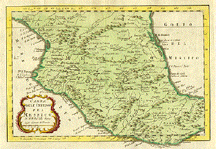
"Carte Reduite de la Cote du
Mexique sur la Mer du Sud Depuis le Golfe Dulce jusque'au
Cap Corrientes�"
Copper etching by Vicq in the
name of the French King and the Department of the French
Navy. It is dated 1823.
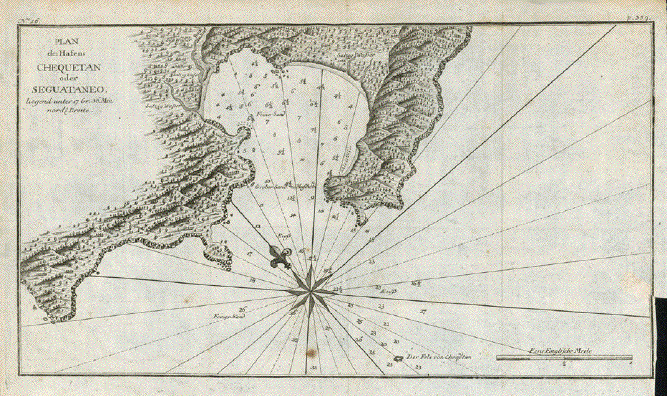
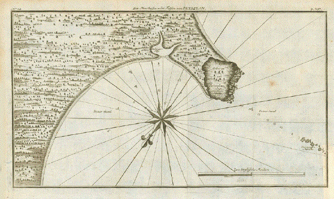
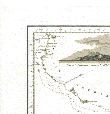
Across the top of this map we
find (from left to right) profile views of Cap Corrientes,
Colima (Vulcano), Mamelles de Coyuca, vulcanos in Guatemala
and of the vulcano Viejo.
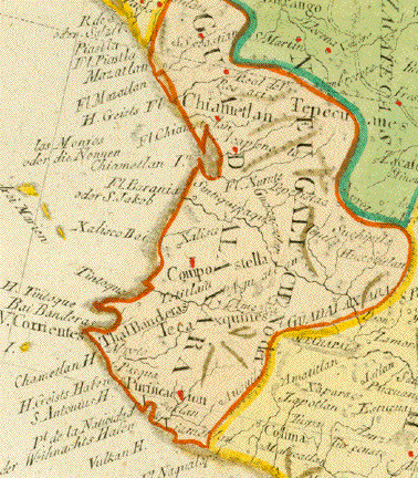
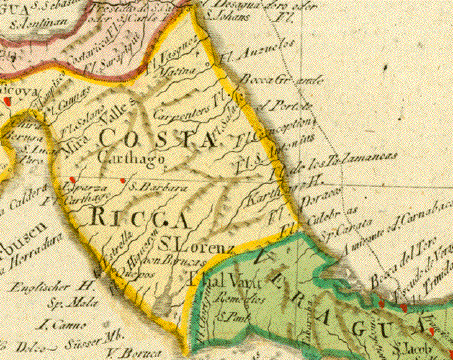
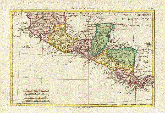
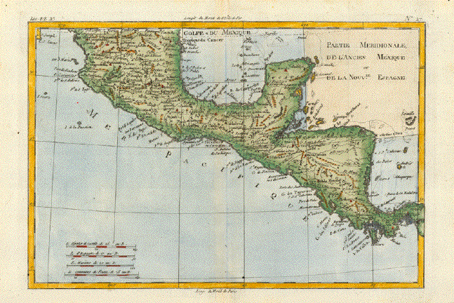
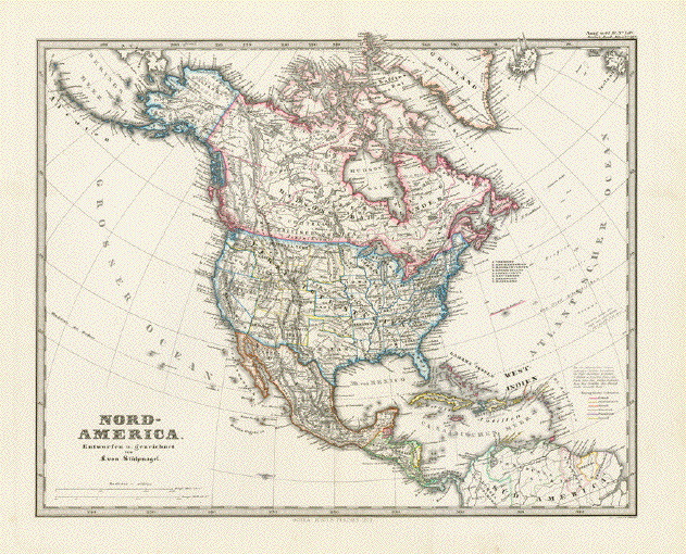
Although titled as coastline of
Mexico, this map runs from Golfo Dulce near the Panama
border along the Costa Rican, Guatemalan and Mexican Pacific
coastline to San Blas, Nayarit. In other words: Pacific
coastlines of Costa Rica, Nicaragua, Honduras, El Salvador.
Guatemala and Mexico up to San Blas, Nayarit.
The mapping of this coastline
was executed by geographic scientists on two corvettes of
the Spanish Armada during the year 1791: "Descubierta" and
"Atrevida". This expedition was called "Malaspina
Expedition" and took place under the command of Captains
Alessandro Malaspina and Jose de Bustamente y Guerra during
the years 1789-1794.
The expedition began in Cadiz
and went to Montevideo, Falkland Islands, Santiago de Chile,
Lima, Acapulco, Nootka, Alaska and then continued across the
Pacific to Asia, Australia, New Zealand and back to
Cadiz.
Map has some spotting in lower
part and in the lower margin, but is basically very clean.
Vertical centerfold.
57 x 88,5 cm (ca. 22.4 x
34.8")
$ 1300.00
Order Nr.
MEXICOMAP248443
|