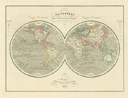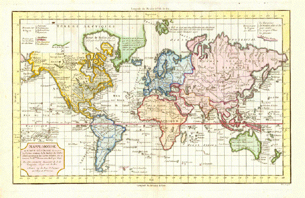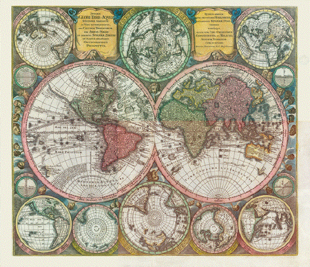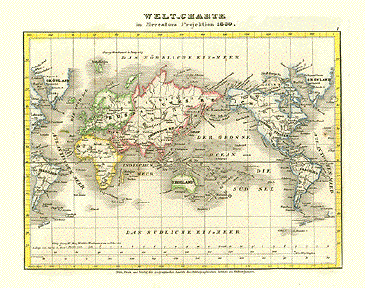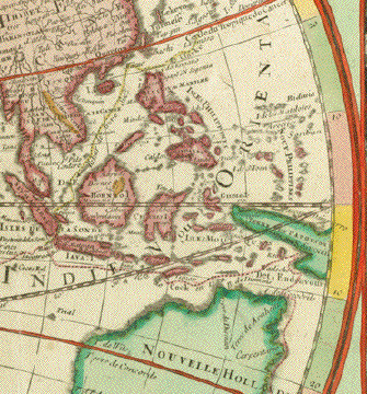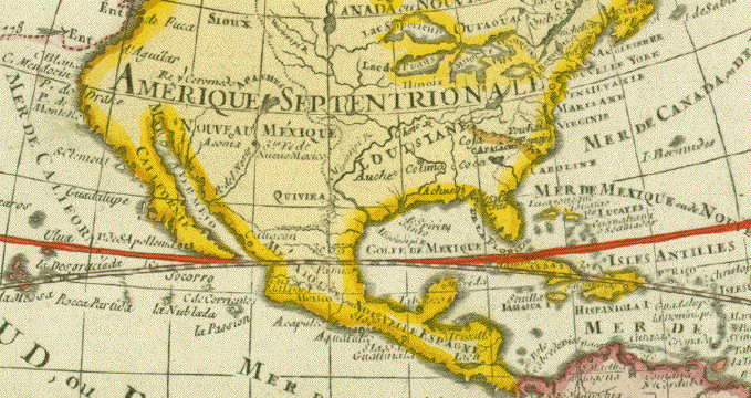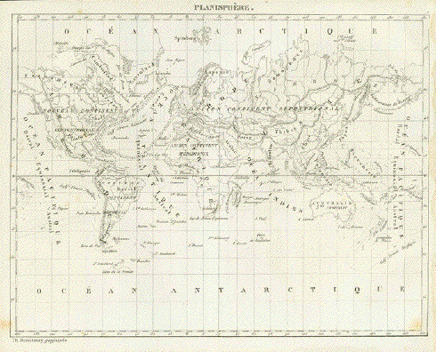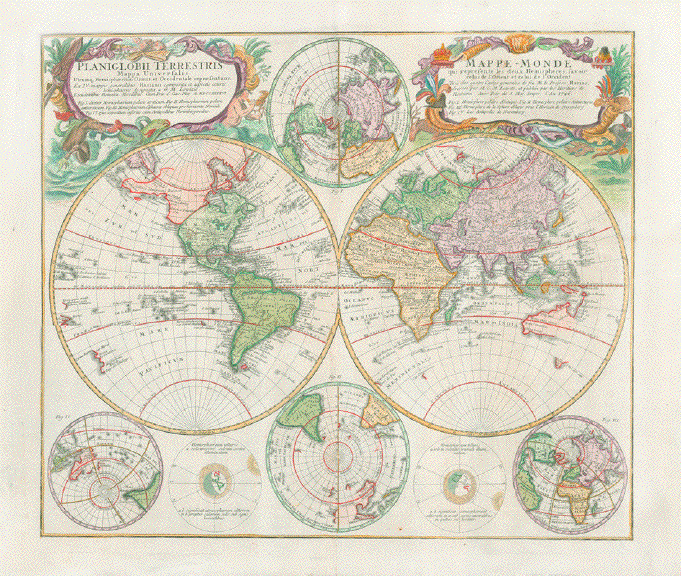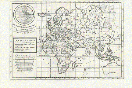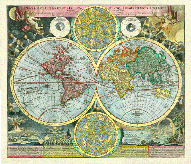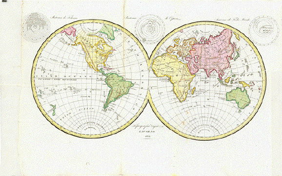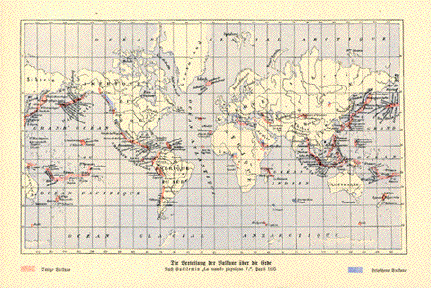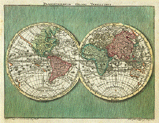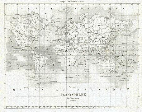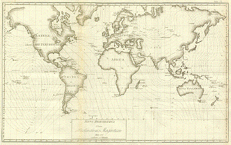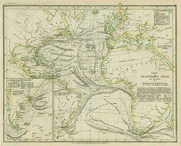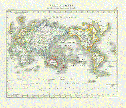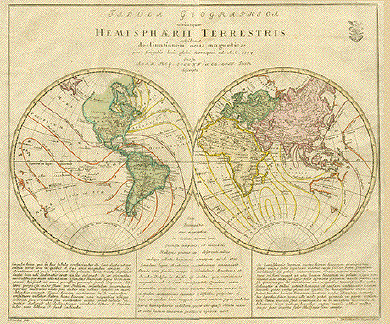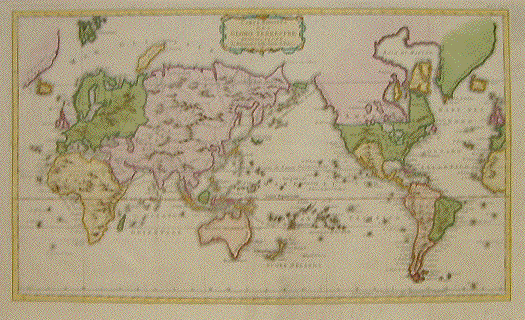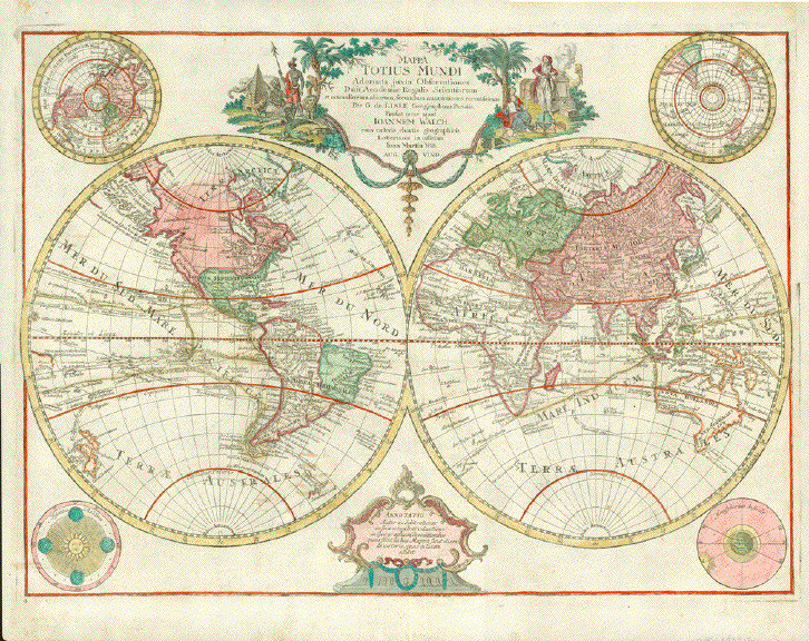
"Mappa Totius Mundi Adornata juxta Observationes Dnn Academiae Regalis Scientiarum et nonnulorum aliorum, secundum annotationes recentissimas. Per G. de Lisle Geographicum Parisiis"
"Prostat nunc apud Ioannem Walch cum caeteris chartis geographicis Lotterianis in officina Ion. Martin Will. Aug. Vind."
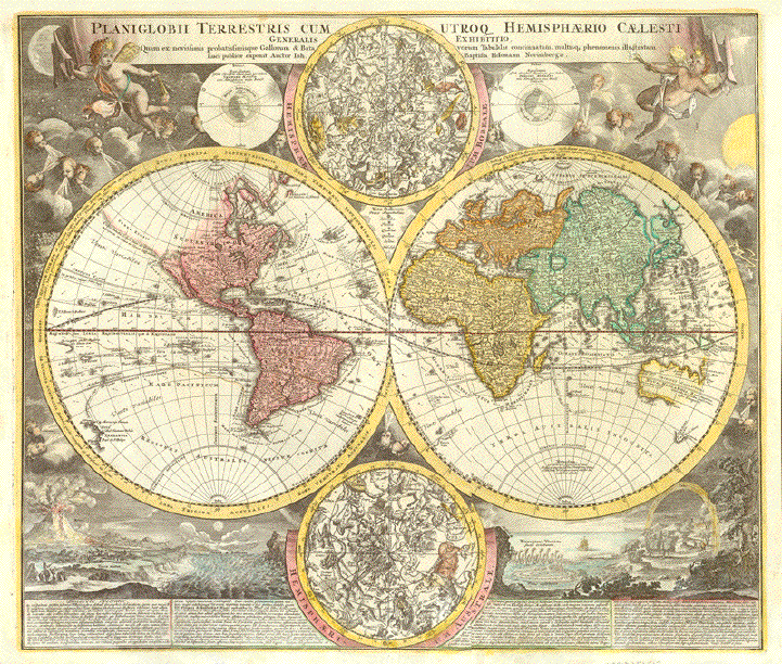
Hand-colored copper -etched World Map by Guillaume de L'Isle (1675-1726) and redesigned by Johannes Walch (1757-1816)and published by Johann Martin Will (1727-1806) in the publishing house of Conrad Tobias Lotter (1717-1777)
Augsburg, 1787
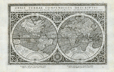
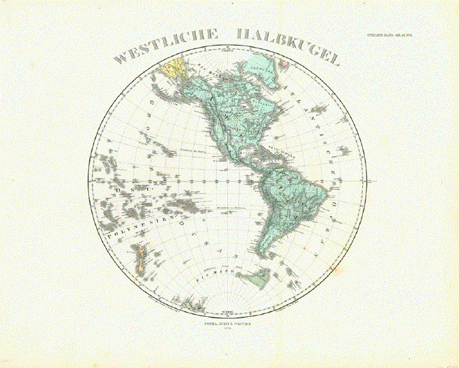
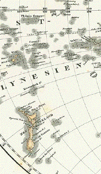
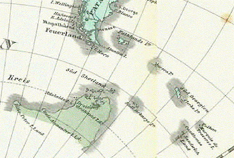
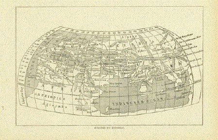
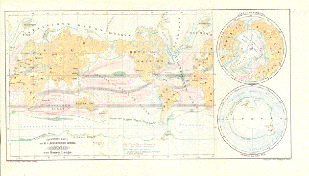
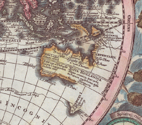
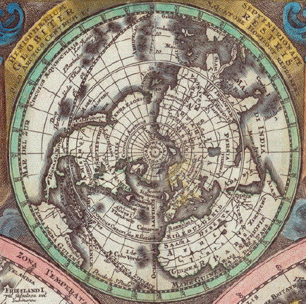
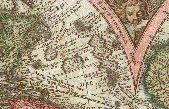
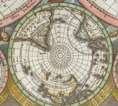
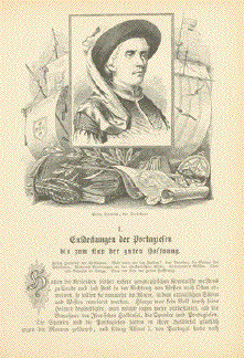
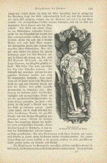
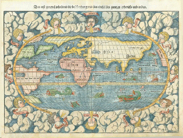
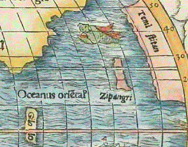
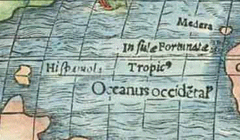
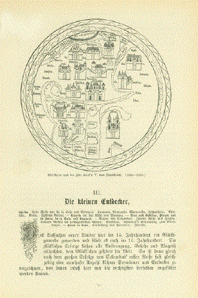
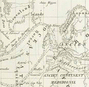
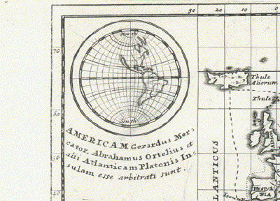
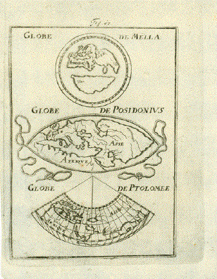
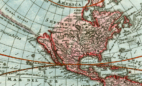
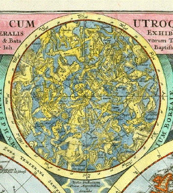
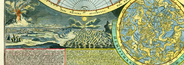
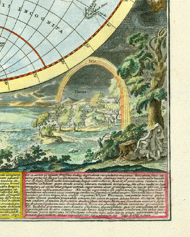
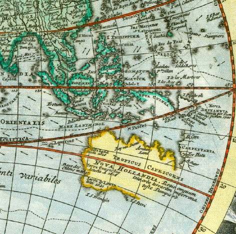
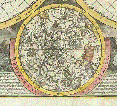
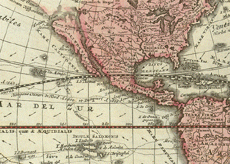
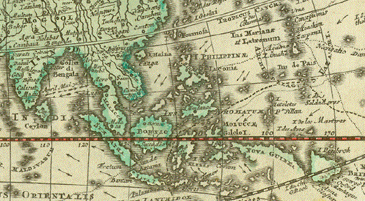
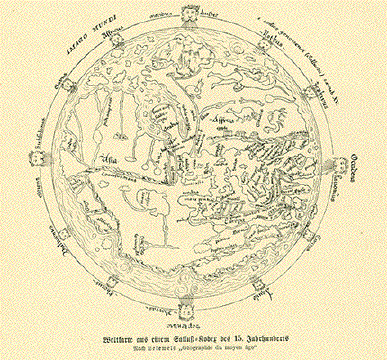
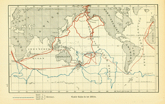
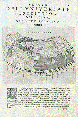
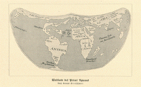
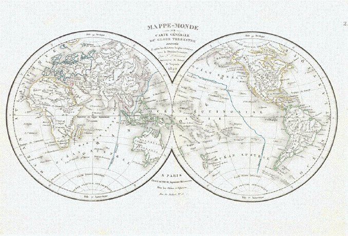
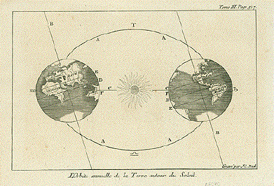
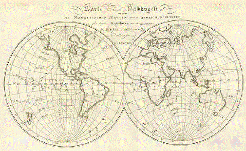
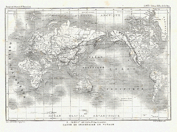
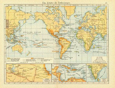
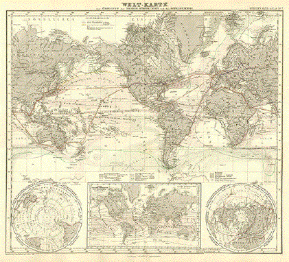
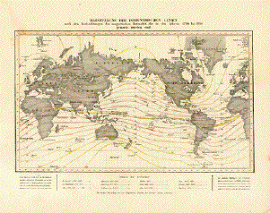
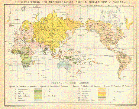
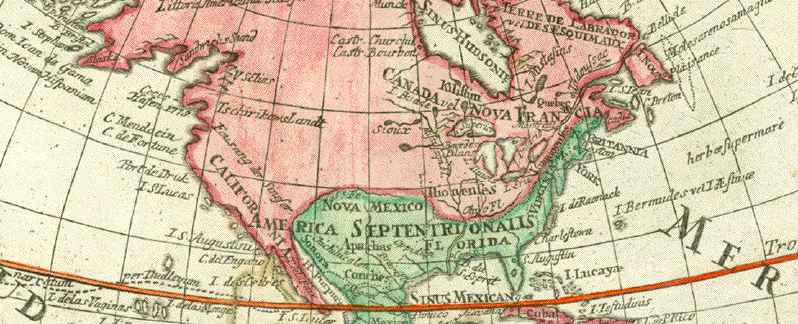
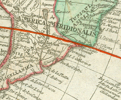
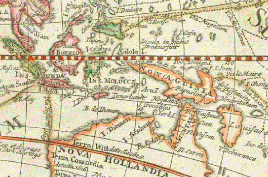
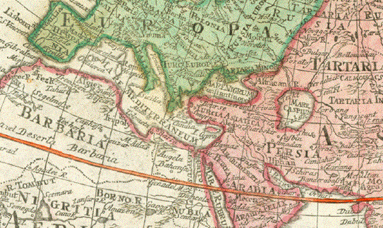
Map showing many of the discovery voyages of earlier times. Australia and New Zealand quite well defined. Four hemispherical globes in the four corners of this appealing map. The pictorial title cartouche indication discoveries of far away lands and continents. On the right: The insignia of Freemasonry.
Subtle hand coloring. Margins have some repairs. Centerfold has been supported in lower part and flattened out. There was some ink hand writing on reverse side, which is illegibly washed out. There is no text print verso.
45,5 x 62,5 cm (ca. 17.9 x 24.6")
$ 1300.00
Order Nr. WORLDMAP252912