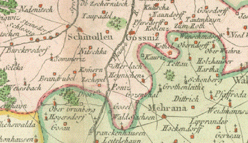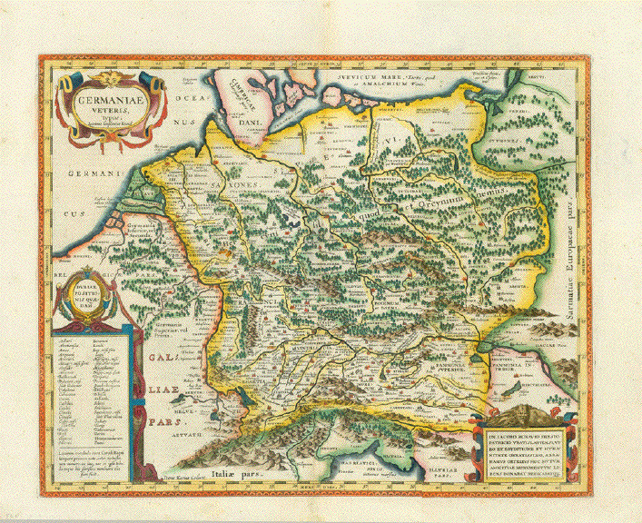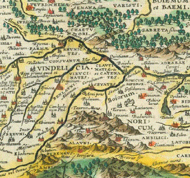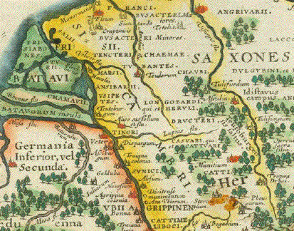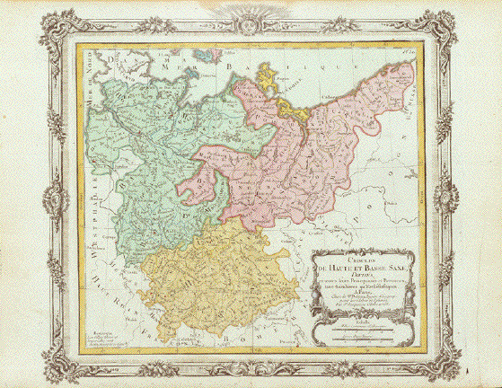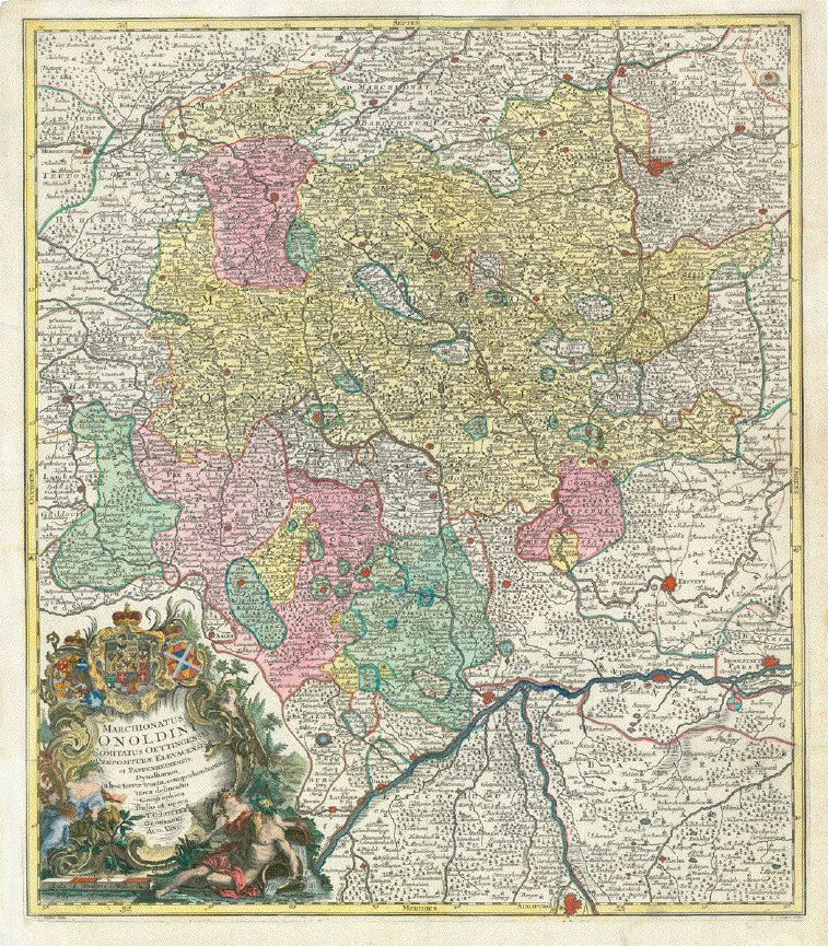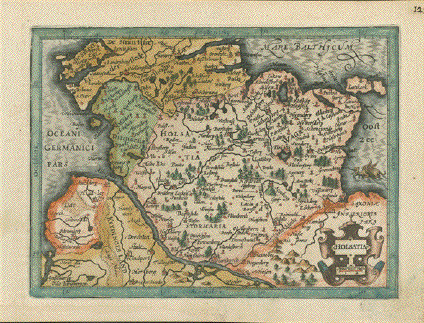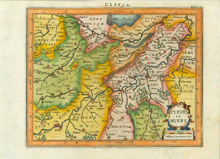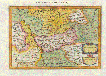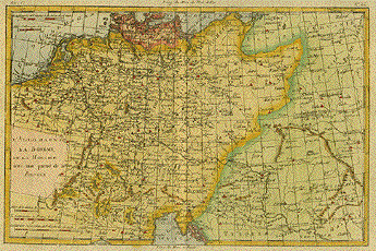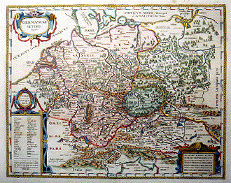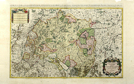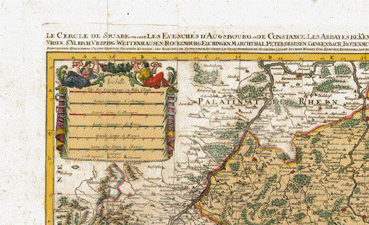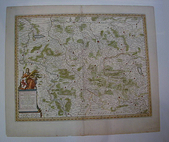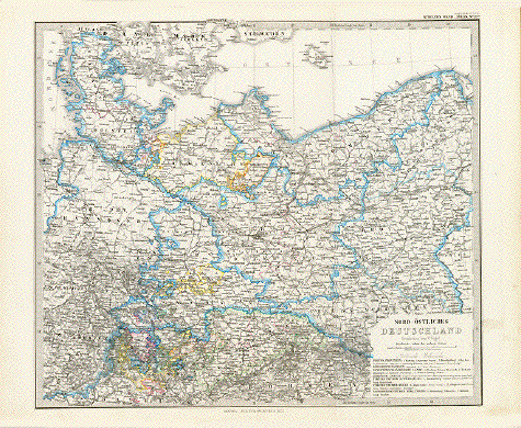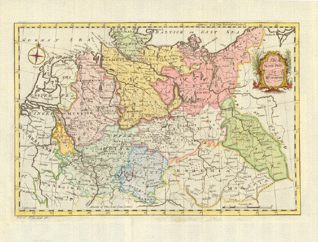
"The North Part of Germany"
Hand-colored copper etching by John Gibson (active between ca 1750- ca 1790)
Quite attractive and very pleasantly hand-colored map of Northern Germany. A rather rare
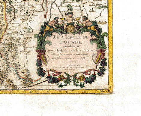
projection with a decorative title cartouche.
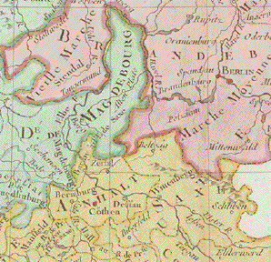
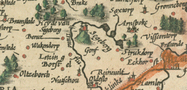
Paper along plate marks was
broken and supported on the reverse side.
Very professionally done. Not visible on front side.
Print has vertical and horizontal folds to fit book size
27 x 39,5 cm (ca. 10.6 x 15.5")
$ 140.00
Order Nr. DEUTSCHLAND253371